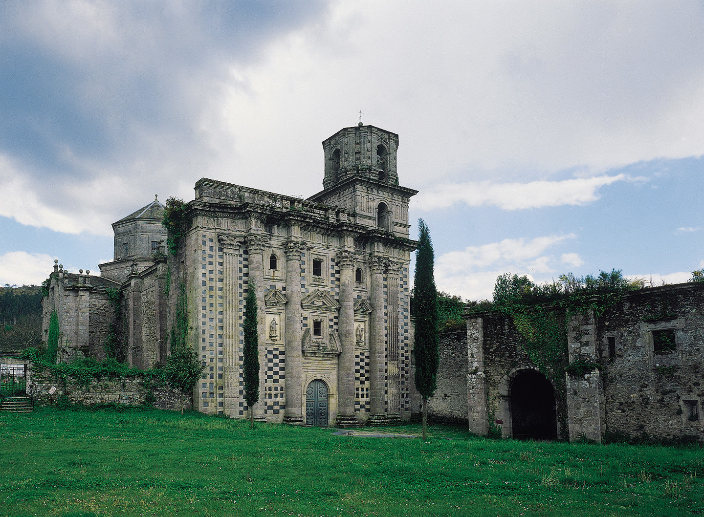
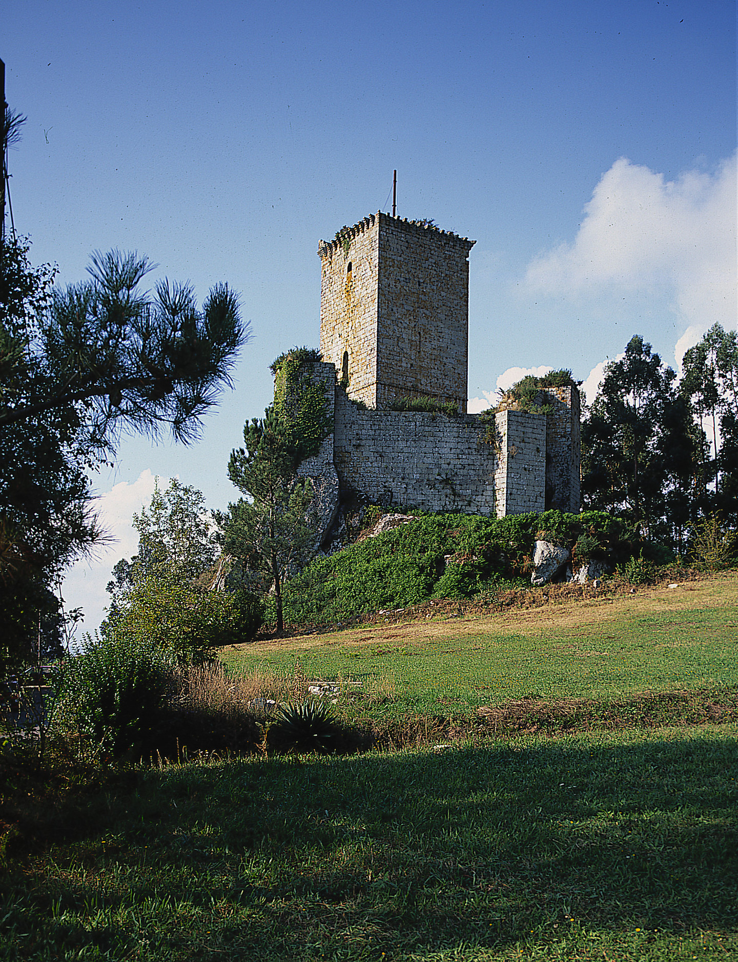
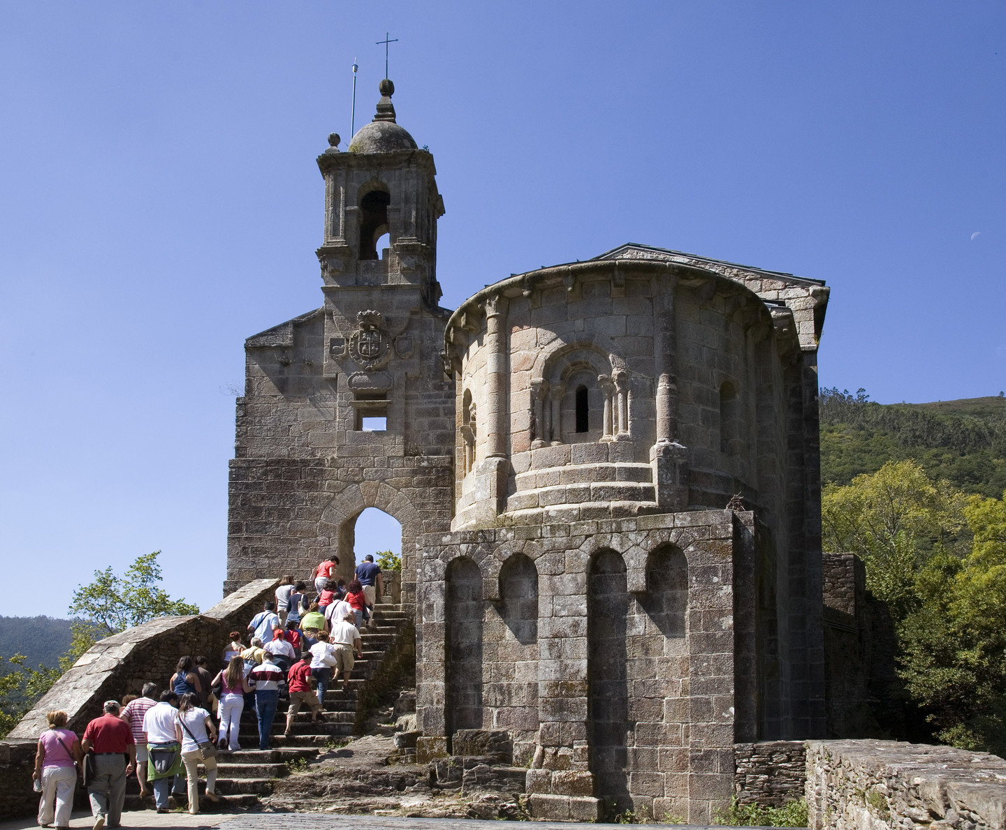
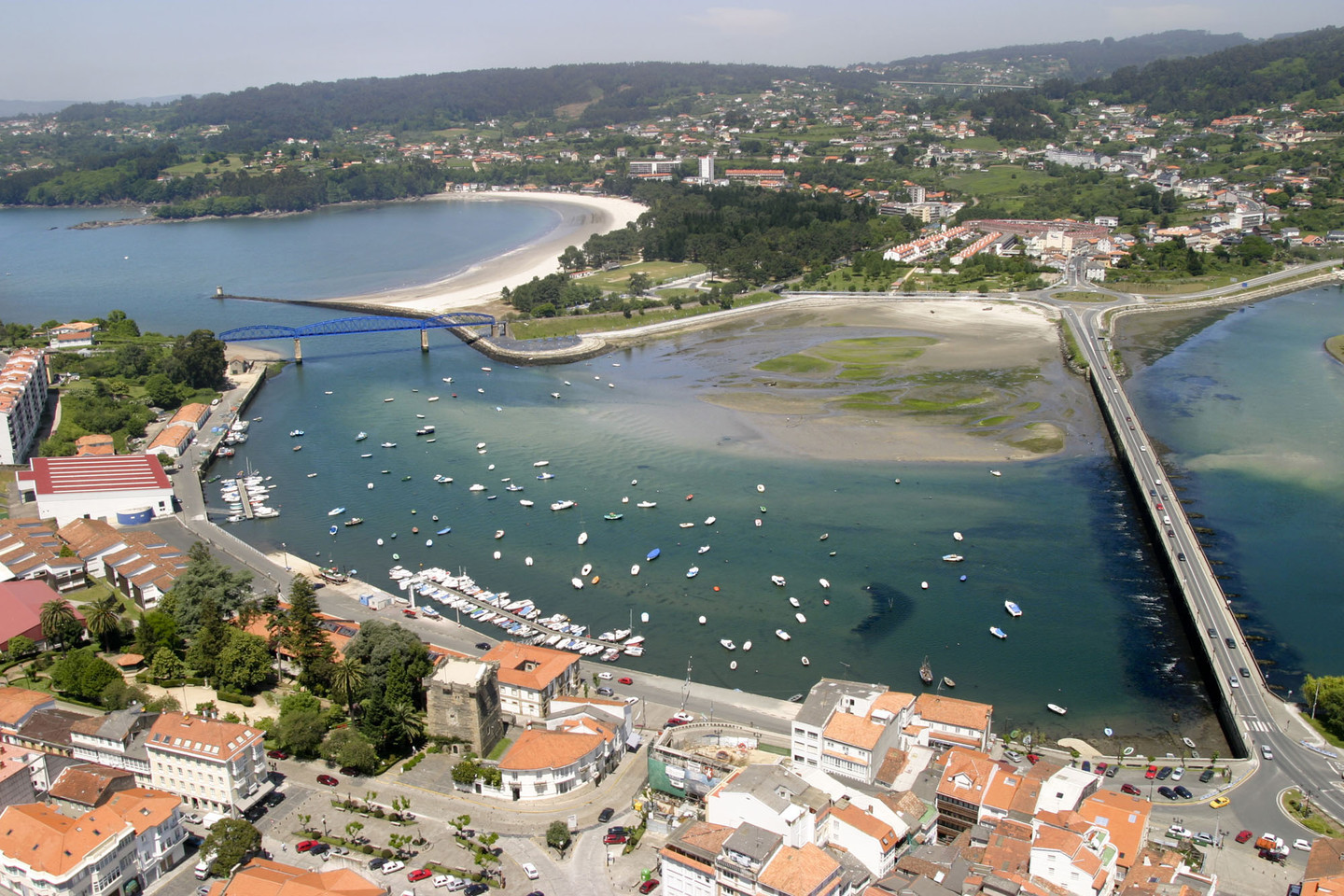
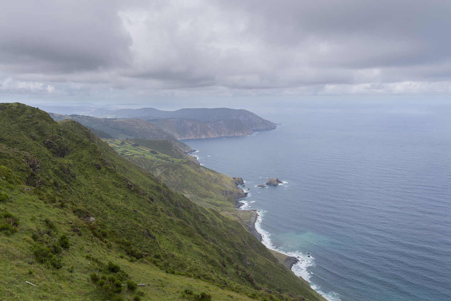
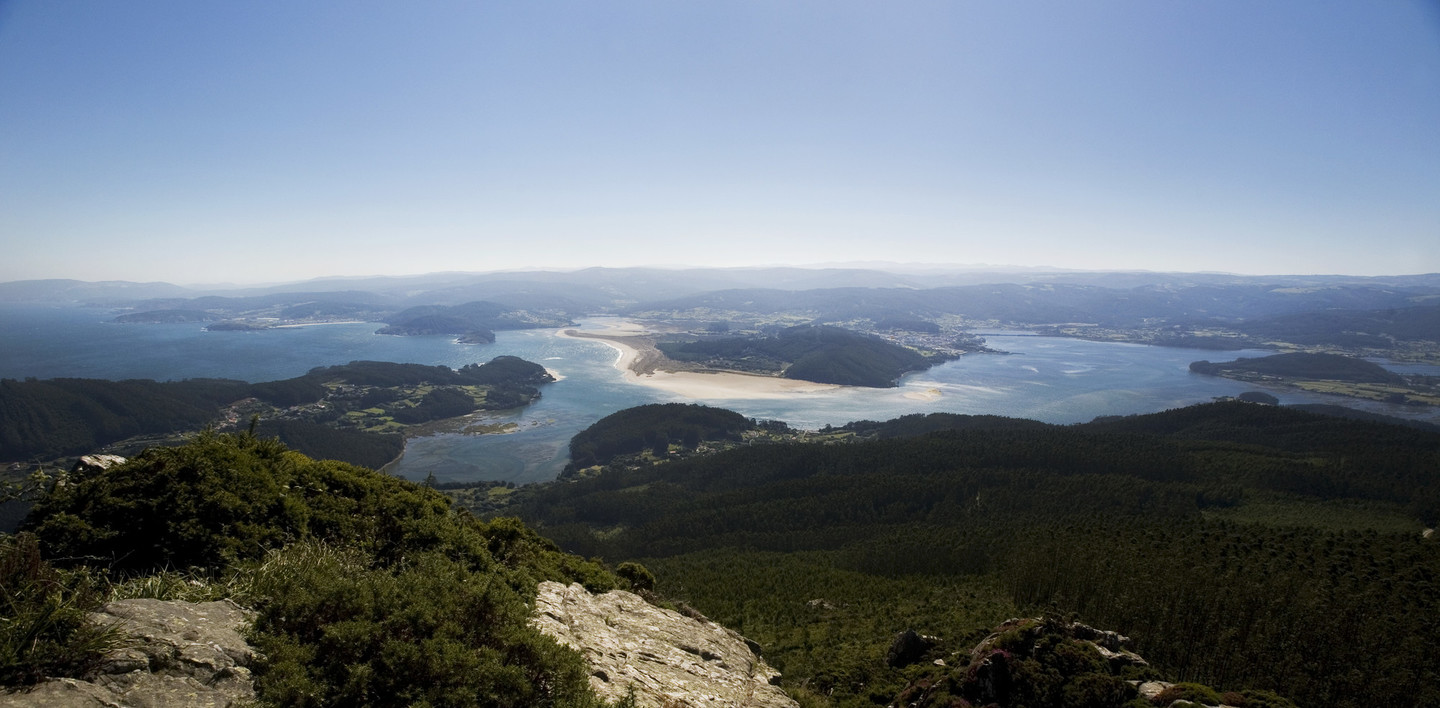
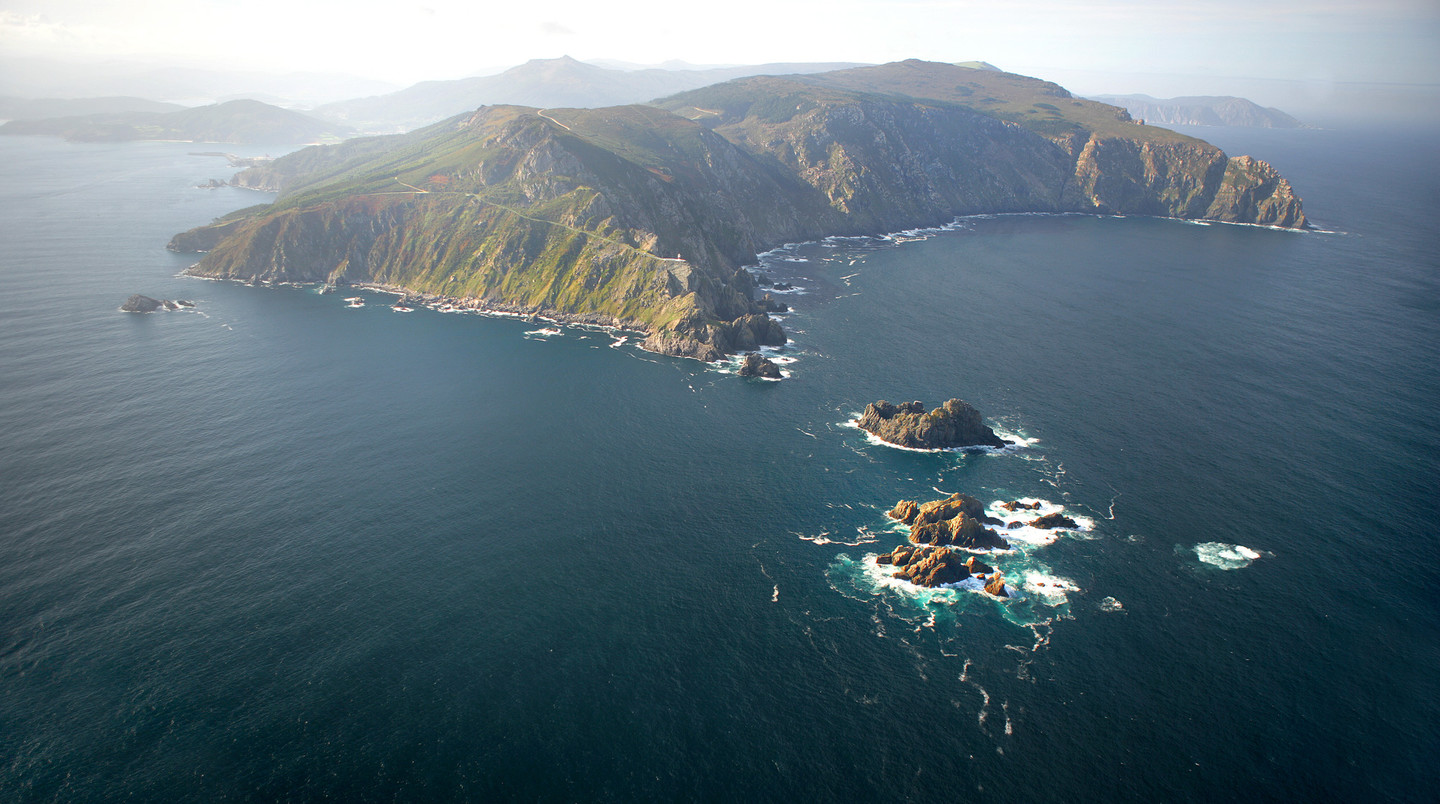
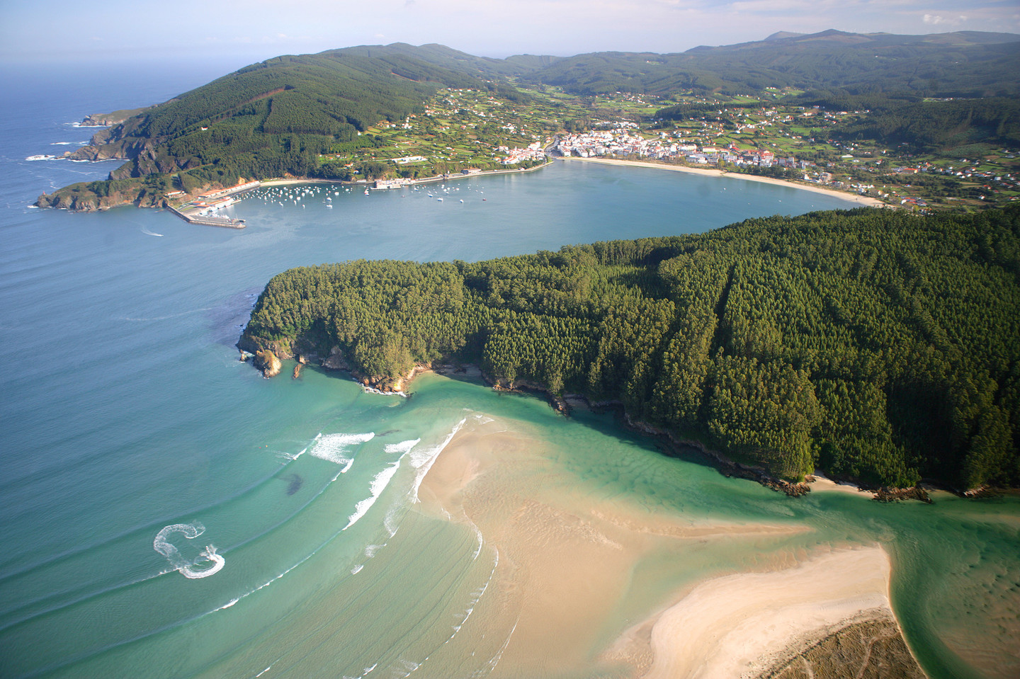
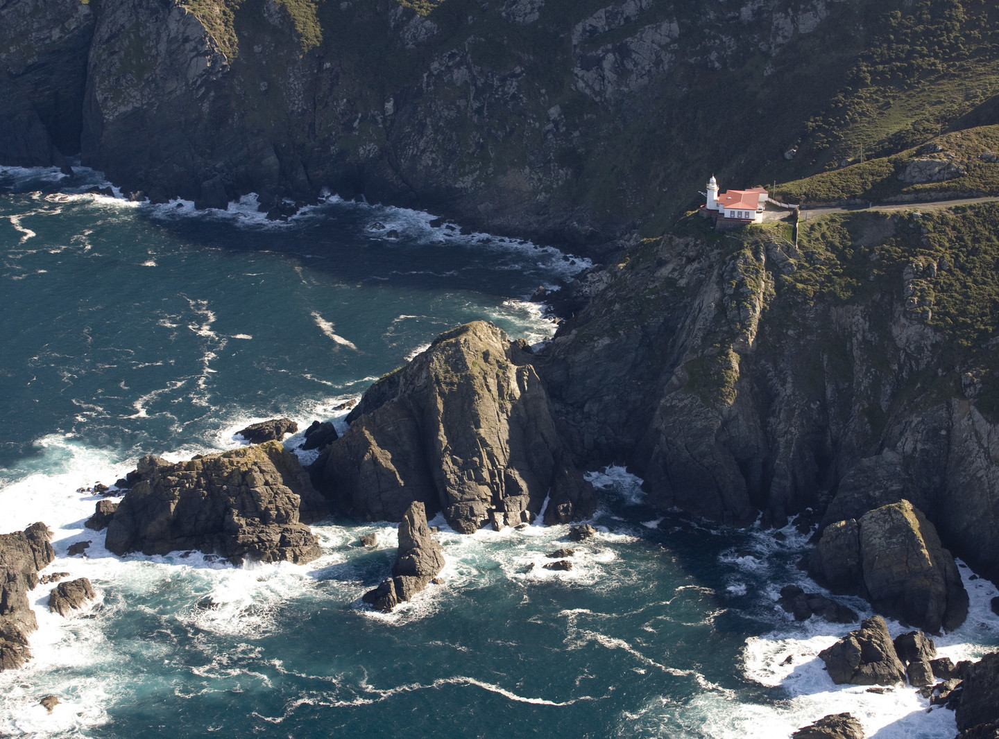
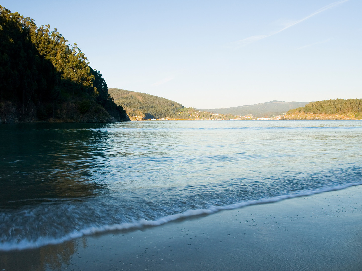
The route we propose will allow us to discover hidden corners of the Eume, Ferrolterra, and Ortegal regions, whose coastline is known as the Rías Altas to distinguish it from other stretches of our coasts. Rugged nature can be found in mountain ranges such as the Faladoira and the Coriscada, which mark the territory in the east and descend steeply to the Sor River, the boundary with the province of Lugo; or in the Capelada with its dizzying cliffs that drop almost vertically by 600 meters. However, there are also valleys with gentle landscapes, such as those in the interior regions of Ferrol and Valdoviño, or along the shores of the broad estuary of the Mera River and the Ortigueira estuary.

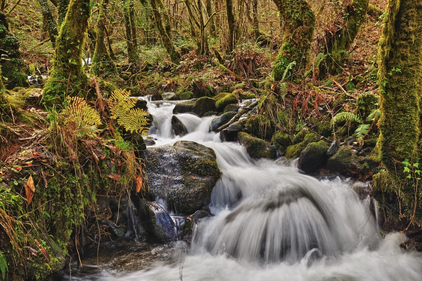
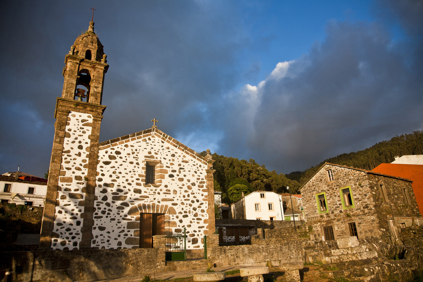
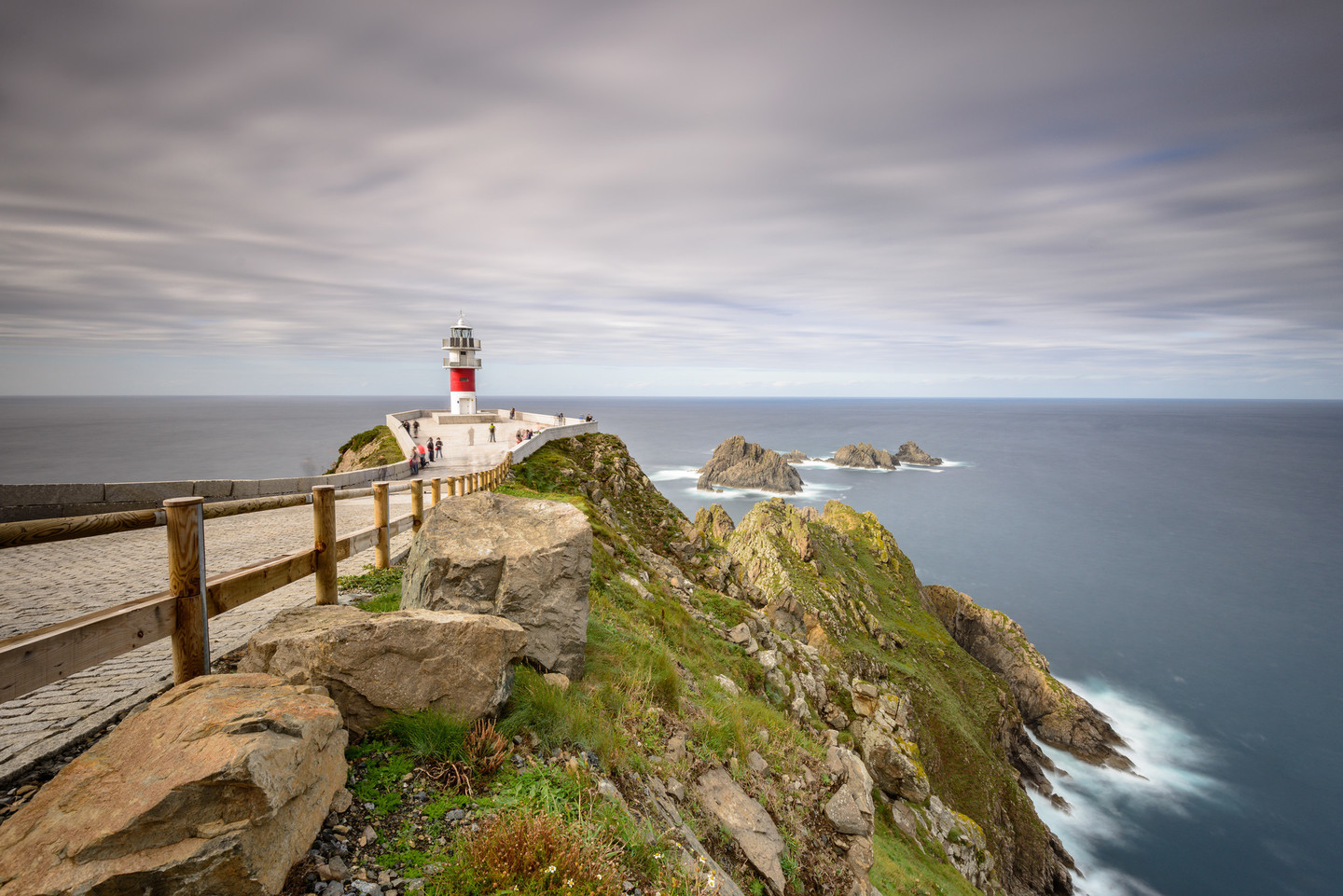
Throughout the various stages, we will discover numerous natural spaces, among which the Parque Natural das Fragas do Eume, a reserve of the Atlantic forest, or coastal lagoons like A Frouxeira or Doniños stand out. Another attraction is the lighthouses, from the northernmost on the Iberian Peninsula - Estaca de Bares - to the one marking the meeting point between the Atlantic and the Cantabrian, cabo Ortegal, offering spectacular views of the coastline.

Complementing its natural beauty, we find a rich tapestry of historical and monumental treasures waiting to be explored. Towns like Pontedeume, where the Andrade family, a noble family that dominated the region in the Middle Ages, left their mark; or more seafaring towns like Ortigueira or Cedeira. Don't overlook the region's religious heritage, exemplified by monasteries like Caaveiro nestled in the Eume, and Monfero.

Ferrolterra boasts a plethora of attractions sure to captivate every traveler. Beyond its natural and architectural marvels, indulge in the area's vibrant gastronomy, diverse cultural events, lively festivals, and numerous outdoor activities available throughout the territory.

We propose to start in Pontedeume and end in Ferrol. Over 3 days, we will drive through the region to visit different places. At times, we will have to leave the vehicle and walk some stretches, but they are of low difficulty, so the route is suitable for all audiences and can be done as a family. Logically, the time distribution should be taken as an example, as each person can vary it according to their preferences.

Day 1

We will begin our route in the town of Pontedeume, located on the English Way, which features an interesting historic centre highlighted by the Torre dos Andrade, the sole remaining structure of the former manor of the Andrade family. They once held sway over much of the northern territory of Galicia from the 14th to the 16th centuries, when they joined with the House of Lemos. Also remaining from that period is part of the bridge, which has suffered collapses and renovations over the centuries. As we stroll through its streets, we will discover other monuments worth visiting, such as the Casa do Concello next to Torre de Ulloa, the Augustinian convent, the Chapel of Virtues, and the parish church of Santiago, situated in the upper part of the town where Fernando Pérez de Andrade is buried.

From the centre of Pontedeume we will take the N-651 road towards Betanzos to ascend to Campolongo Hill. Shortly before arriving, we can detour to the Church of San Miguel de Breamo, one of the Romanesque gems of the area and a pilgrimage site in May and September. Back on the main road, we will follow the AC-151 and, just over a kilometre later, we will take the provincial road that leads us to Castle of Andrade, also known as Castle of Nogueirosa. Perched atop Pena Leboreira, it offers splendid views of the Ares estuary, the Betanzos estuary, and even glimpses of the city of La Coruña. Returning to DP-5005 road, we will turn left and upon reaching a stop sign at the junction with AC-144, and then continue right towards Lamelas where we will take the local road towards the Monastery of Monfero. In this historically and artistically rich complex with an impressive façade blending granite and slate, we can visit the church that serves as the parish temple.

Continuing on our way back towards Pontedeume on AC-144 road, we will find on the right a signposted detour to the Parque Natural das Fragas do Eume.Fragas do Eume Natural Park. This protected area is considered one of Europe's most important Atlantic forests, home to a multitude of valuable animal and plant species. After about 5 km, we will reach the Interpretation Centre where we can learn about activities available in this natural space and the visiting conditions for the monastery. During peak season, there are restrictions on private vehicles along the road that skirts the Eume River to Caaveiro, with mandatory use of free buses provided by the park. We recommend obtaining more information by calling 981 432 528 or visiting the Natural Heritage website of the Xunta de Galicia.

Where the trail ends, we will cross the bridge on foot and follow a path that, in just half a kilometre, leads us to the ancient Monastery of San Xoán de Caaveiro, nestled in a beautifully natural setting.

We will return to Pontedeume to continue our route towards Ferrol. Leaving the beautiful Magdalena Beach to our left, perfect for relaxing on sunny days under the shade of the pine grove or sunbathing on the sand. Departing from Cabanas, we will then find the road leading to Ares, where we will reach one of the most beautiful towns in the area. We're talking about Redes, with its maritime architecture and some examples of Indian style; a collection of houses gathered in a small cove of the estuary.

The next town we will visit is Ares, with the beautiful sands of Campa and Raso, which enclose its cove to the east and features many good examples of early 20th-century architecture. There are many places to visit in this municipality, such as the Romanesque church of Lubre or the chapel of La Merced and Chanteiro beach, but we recommend going up to the monastery of Santa Catalina de Montefaro and to Bailadora, a splendid viewpoint that will allow you to see the entrance to the Ferrol estuary in all its dimensions at its narrowest point, defended by the castles of Palma and San Felipe.

Mugardos is a town that preserves that maritime environment around its promenade where you can taste octopus, one of the star dishes of the locality. Even during the season, it is possible to take the so-called "boat" and cross the estuary to Ferrol.

We will take the VG-1.2 until connecting with the N-651 and then the AP-9 to exit 31F towards Neda. This town is famous for its bread and is located on the English Way, which passes through the Rúa Real characterized by its arcades and the clock tower.

To conclude this busy day, you can visit the Belelle waterfall. We will leave the car in the designated parking area and walk a little over a kilometre to reach its base and admire the beauty of the surroundings.

We finish this stage in Neda where we find accommodation, or alternatively in nearby towns such as Fene, Narón or even Ferrol.

Day 2

On this second day, we will travel from the Ferrol estuary to the northernmost lands of the Iberian Peninsula. We will head towards Ortigueira via the AC-862 road. After passing kilometer point 12, at Liñares, just before crossing the Castro River, we have a local road on the right that will take us to the Castle of Naraío, perched on rocks overlooking the Castro River. It preserves the Tribute Tower, about 15 meters high, and part of the outer fortifications.

Continuing on a local road, we will then reach the AC-125 and continue until the junction with AC-862 at Bouzarredonda, resuming our journey towards Ortigueira. In San Sadurniño, we can pause to stroll along the riverside path of the Xubia River, where visitors will be delighted by the arboretum and the enchanting "magical forest." This area showcases sculptures depicting mythological and legendary creatures like goblins, witches, and fairies.

Continuing along the AC-862 road, we will reach Balocos, where we turn right to visit the Castle of Moeche. Here, the annual Irmandiño Festival is held, commemorating the area's historical past. In the 15th century, several wars erupted between nobles and the people against the abusive rule of the nobility in this region governed by the Andrade family (later joined with the House of Lemos), resulting in the castle being demolished multiple times and finally rebuilt at the end of that century.

We will proceed on the main road crossing through the municipality of Cerdido until we reach Ponte de Mera, where we can already see the marshes of the Ortigueira and Ladrido estuary, one of the most remarkable natural spaces in the region, which provides a perfect habitat for wildlife, especially birds. It is protected under several conservation schemes, including ZEPA (Special Protection Area for Birds).

Following the estuary, we will arrive at Ortigueira to visit the parish church of Santa Marta and the former Dominican convent, now housing municipal offices and the Interpretation Centre of the municipality, along with other cultural facilities. Another notable monument is the windmill located in the upper part of the town. If your visit coincides with July, make sure to mark your calendar for the International Celtic World Festival, declared of International Tourist Interest, held next to Morouzos Beach.

Our next stop will be O Porto de Espasante, approaching Garita da Vela, which offers excellent views of the coastline and, 400 meters away, the Castle of Punta dos Prados.

Returning to the AC-862 road, before leaving the Ortigueira area, we must turn off at Loiba to enjoy one of the best panoramas of the northern coast from Os Picóns. From here, we can see all the way to Cabo Ortegal and the Serra da Capelada to the west, and Estaca de Bares to the east.

The final visits of the day are in the municipality of Mañón, nestled between the Coriscada and Faladoira mountain ranges and the Sor River, which forms a deeply incised valley between the mountains. O Barqueiro, a village protected from the northern winds and sea onslaughts, nestled at the mouth of the river, is the starting point to visit the Estaca de Bares lighthouse, the northernmost point of the Iberian Peninsula, where you can even walk, with caution, to a stone marked with the latitude and longitude of the cape. From the lighthouse, we will go up to the Semáforo de Bares viewpoint, offering great views of the Lugo coastline to the east, with Coelleira Island marking the entrance to Barqueiro Estuary. Finally, we will go down to Porto de Bares, whose pier at Coído is believed to date back to Phoenician times.

For accommodation, we have several options in both Mañón and Ortigueira, where we will start the final day of this itinerary through the Rías Altas.

Day 3

We will leave Ortigueira heading towards Ferrol on the AC-862 road. A few kilometres later, at Ponte de Mera, we take a signposted turn towards Cariño, on the western shore of the ría de Ortigueira, sheltered by the serra de A Capelada. This locality, with a strong maritime character, is the gateway to a particularly beautiful area.

A short distance away, just a few kilometres north, we will visit Cabo Ortegal, surrounded by impressive cliffs, including the famous “Os Aguillóns”, placing us where the Atlantic Ocean meets the Cantabrian Sea.

Leaving Cariño, we will head towards Santo André de Teixido. A few kilometres away is the well-signposted Miranda viewpoint. From this vantage point, nestled in the Serra da Capelada, we will admire the unparalleled views over the Ortigueira and Cariño estuary.

We will return to the road towards Santo André de Teixido, following the route from Cariño. A short distance away, we will find the Garita de Herbeira viewpoint, offering spectacular views of the highest cliff on the Iberian Peninsula and one of the highest in continental Europe: a 600-metre drop to the sea, with a slope greater than 80%. Another recommended viewpoint is Teixedelo, which offers great views of Santo André de Teixido.

Our next stop on the route is one of the most important pilgrimage and worship sites in Galicia, Santo André de Teixido. According to local legend, "those who do not visit Santo André de Teixido in life will do so in death”.

Leaving Santo André de Teixido, we will drive towards Cedeira, located 12 km away in the Condomiñas river estuary, which boasts an excellent beach at Madalena. From this fishing village, we can take a few detours: to the Punta Candieira lighthouse for a beautiful coastal view, or to visit the Castle of Sarridal. From the port, we will head to the Castle of Concepción and just over 300 meters further, we will find the site; we can then continue to Punta Sarridal and enjoy views of the estuary entrance.

From Cedeira, we will take the AC-566 road towards Ferrol, discovering some of the most beautiful beaches of the Rías Altas, such as Vilarrube, Pantín, famous for its surfing championship, until we reach Valdoviño, closing lagoa da Frouxeira, a natural area of great ornithological interest. Following the coastal route, we will then approach the Punta Frouxeira lighthouse, from where there are good views of the beach and coast.

Our next proposed stop is the Cabo Prior lighthouse, one of the most distinctive locations in the area, overlooking the cliffs. We can also see the remains of the old military batteries that are plentiful around Ferrol. To our right are beaches pounded by the Atlantic, such as Ponzos or Santa Comba, named after the solitary chapel on an islet accessible at low tide.

Continuing along San Xurxo beach, we will reach Doniños with its extensive beach open to the ocean, hiding a lagoon of the same name, a coastal wetland of special interest to birdwatchers, similar to the Frouxeira seen earlier.

Finally, we will end the day and this tour of the Rías Altas in Ferrol, where it is worth staying for at least a couple of days to discover all its attractions, such as the Magdalena District.

Arriba