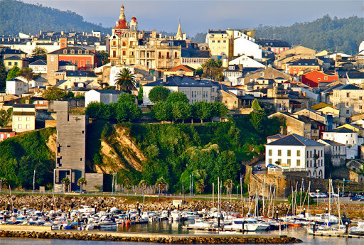
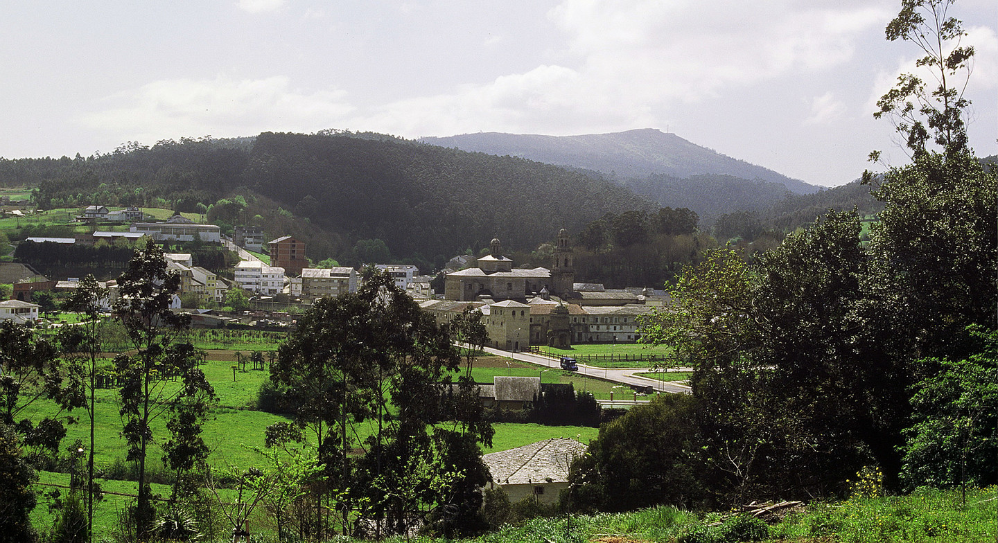
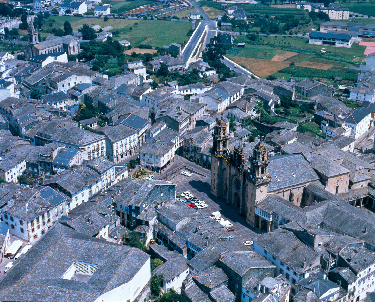
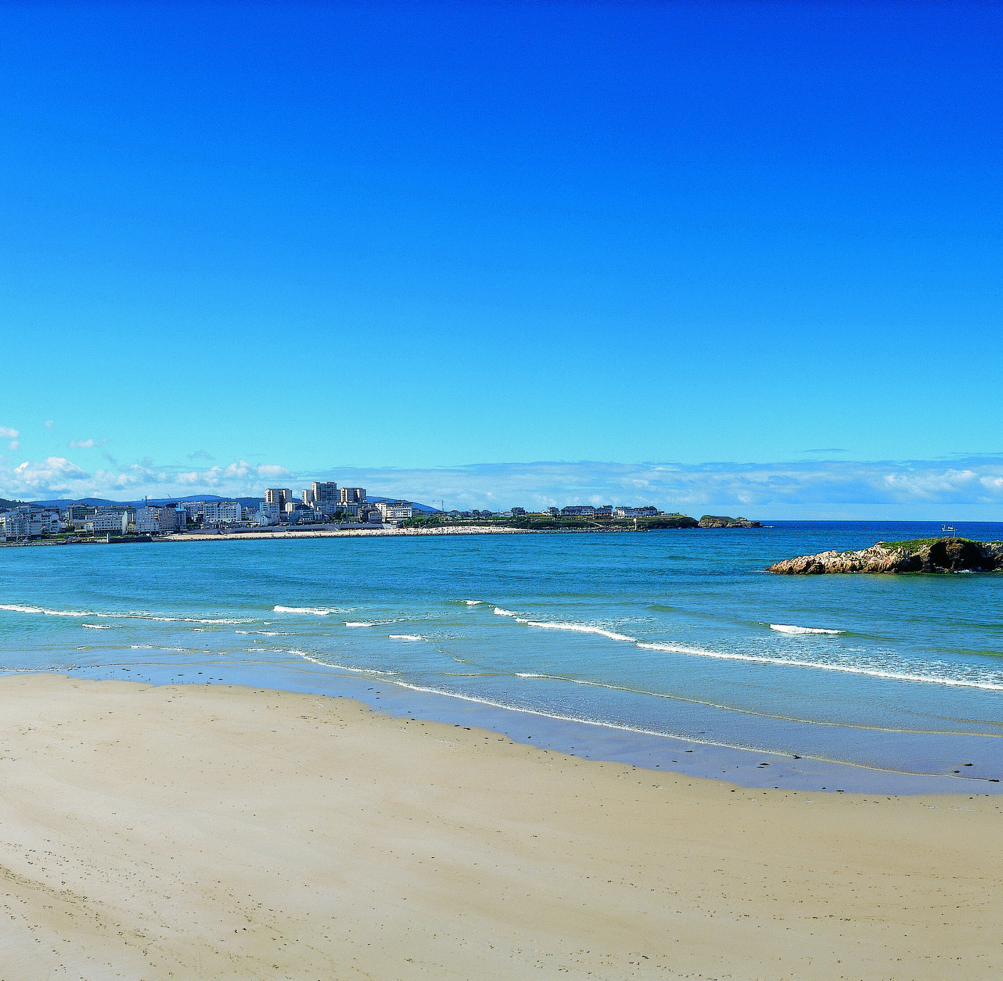
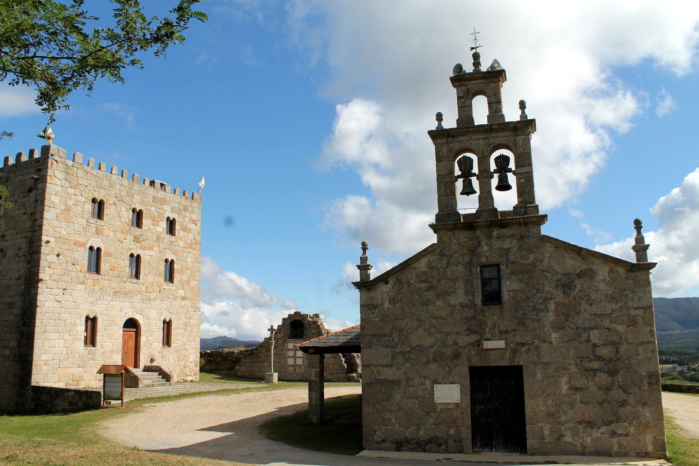
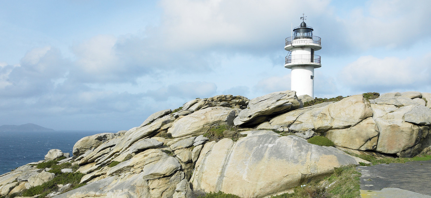
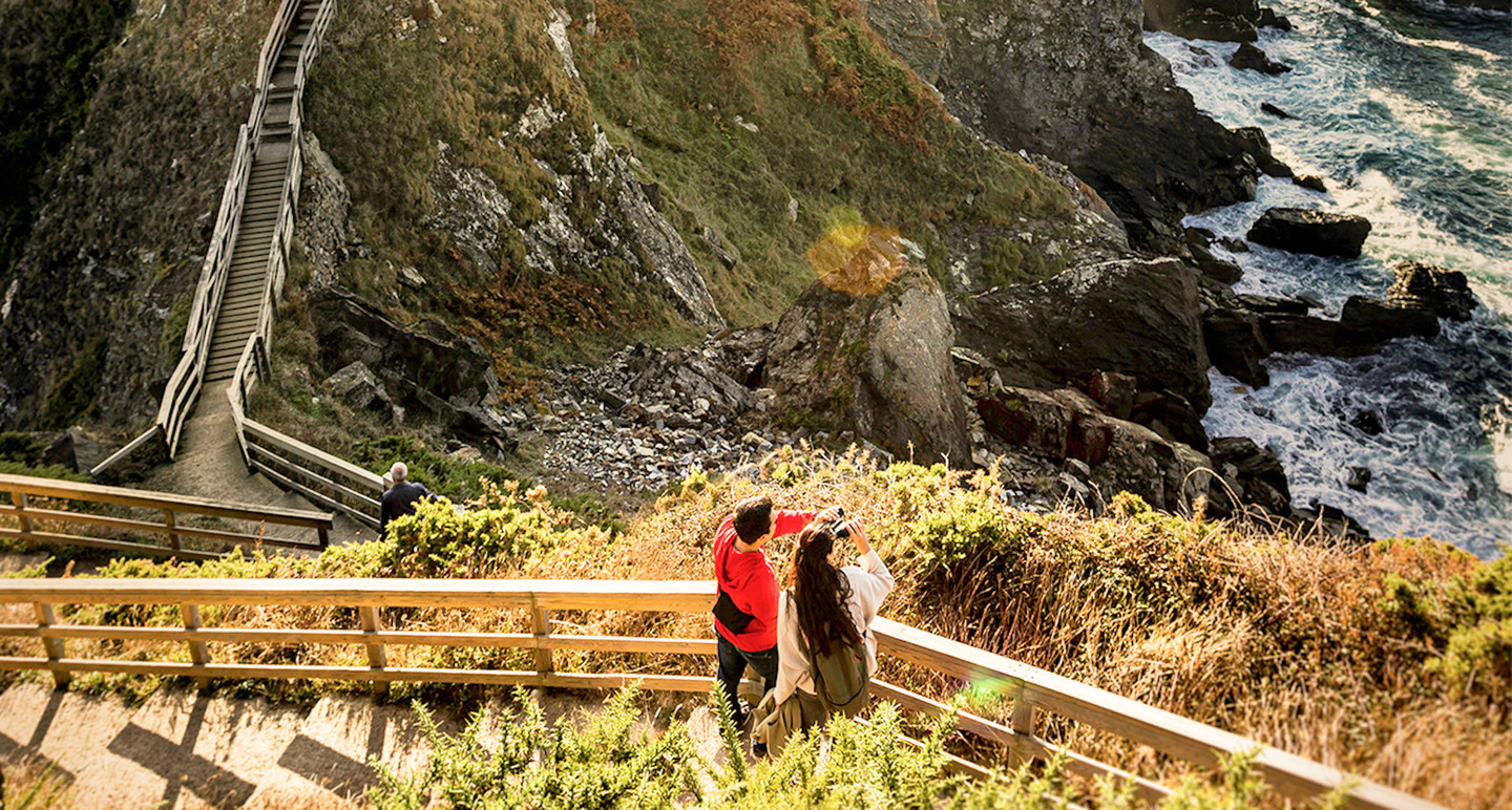
A Mariña is one of the best-defined regions of Galicia. It encompasses the entire coast of Lugo between the Ribadeo estuary and the Barqueiro estuary, as well as several inland municipalities in the valleys of the Landro, Ouro, Masma, and Eo rivers. The eastern and central coastline is characterized by the so-called “Cantabrian Rasa”, a fairly straight coast where the Ribadeo and Foz estuaries open up. From San Cibrao, in the municipality of Xove, the coast becomes more rugged, with hidden beaches and higher cliffs, where the Viveiro and Barqueiro estuaries open up at the border with the province of Lugo.

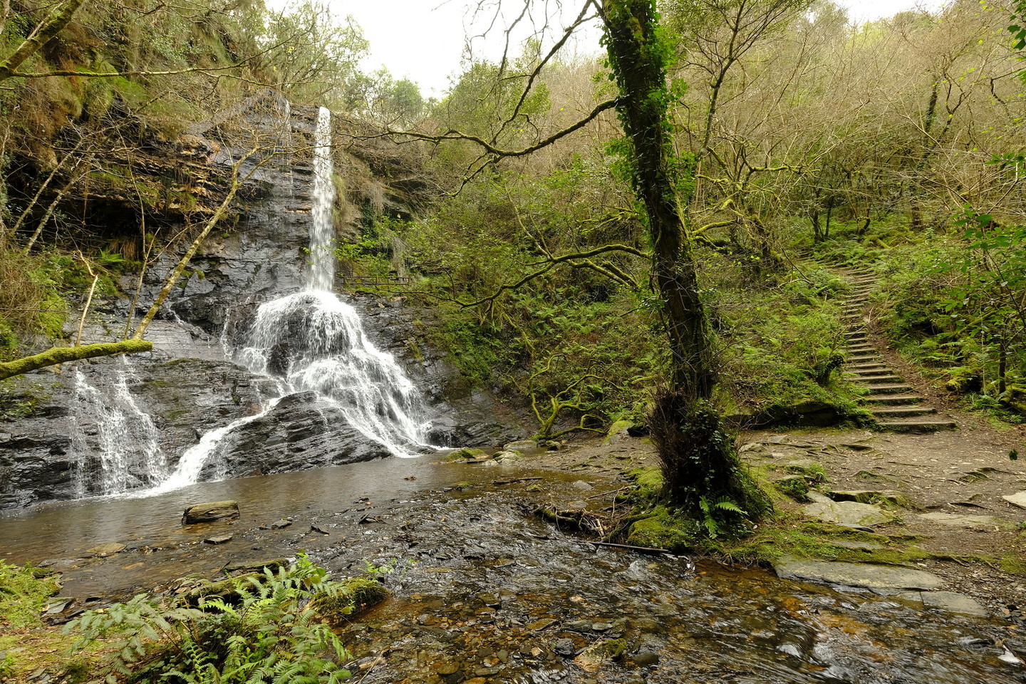
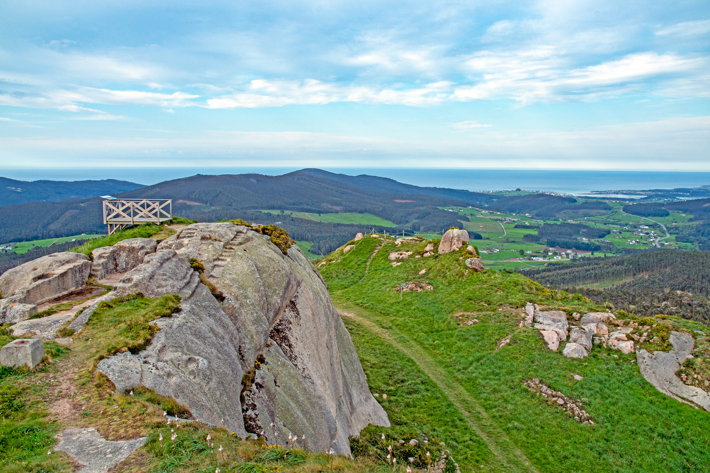
Inland, which is less populated, many of the mountains exceed 800 meters in the Xistral, Cadramón, Lourenzá, and Pousadoiro mountain ranges. Highlands where pastures are abundant and where cattle are often seen roaming freely. In fact, at the beginning of summer, several “curros” take place in this region, a festival held to gather or bring down free-roaming cattle from the mountains, especially horses and cows, to wooden or stone enclosures where they are gathered to be cleaned and marked.

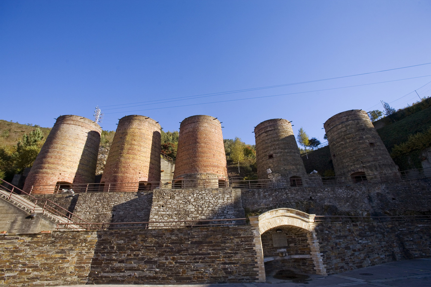
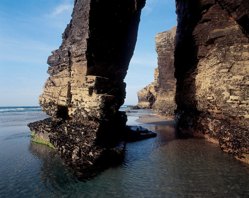
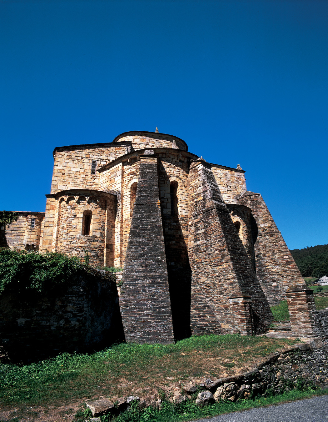
This mix of sea, valleys, and mountains makes the region home to natural areas of great interest, with various levels of protection or designation: two Biosphere Reserves (Terras do Miño and Río Eo, Oscos, and Terras de Burón), two natural monuments (Catedrais beach and the souto of da Retorta), and those that are part of the Natura 2000 Network, both coastal and inland: Landro river, Monte Maior or Ouro river, the Foz-Masma estuary, the Eo river or the Carballido forest.

If we talk about history, much of the territory is linked to Marshal Pardo de Cela, a 15th-century Galician feudal lord who became a symbol of resistance against the centralized power of the Catholic Monarchs. He defended his autonomy and that of his lands against royal interference, confronting the troops of Isabella and Ferdinand at the Battle of Pontes de García Rodríguez in 1475. Despite his defeat, he took refuge in his castle at A Frouxeira, where he resisted the royal troops' siege for years. In 1483, after leaving his fortress under the promise of a safe conduct, he was captured and beheaded in Mondoñedo. His figure became legendary in Galicia, representing the fight for freedom and the defense of rights against absolutist power. His life is closely linked to places like a Pasatempo bridge, the Castle of Castro de Ouro and especially the town of Mondoñedo. But we must not forget other important historical centres such as Ribadeo, in the eastern area, where we will find many examples of Indian architecture, or Viveiro, which preserves part of the wall and several gates like the one of Carlos V from the Renaissance period. Going back to earlier periods, we will find dolmens, castles, and even a stone circle, archaeological sites dating back to pre-Christian times. It can also be said that in A Mariña, specifically in the municipality of Cervo, the first industrial complex in Galicia was established: the Royal Factory of Sargadelos.

This is a land of festivals, from religious ones such as Viveiro Holy Week, declared of International Tourist Interest or the Pilgrimage of Naseiro, to the gastronomic ones like the Feira do Bonito in Burela, the Festa da Troita in Pontenova, the Festa da Faba of Lourenzá, the Queimada Popular in Cervo and the Festa do Ourizo in San Cibrao (Cervo). But let's not forget the most ancestral and rooted ones, such as the Rapas das Bestas of Candeoso (Viveiro) or the Maruxaina of San Cibrao (Cervo).

Route

Three days is recommended to explore the Sierra de O Courel. The driving route includes some local roads, so you'll need to pay attention to traffic. We recommend two short hikes to fully appreciate the enchanting rural landscape where nature flourishes. The suggested time distribution is flexible according to personal preferences.

How to get there

  • From the city of Lugo, take the CG-2.2 to Sarria, then the LU-633 towards Samos.
  • From the A-6, at Pedrafita do Cebreiro, turn off towards O Cebreiro on the LU-633, which will take you to Samos.

Día 1º

Departing from Lugo, we will take the N-640, passing through Meira, to reach the port of Marco de Alvare and we will then descend towards the Eo River Valley, which will be our companion for the first part of the journey. We are now within the Río Eo, Oscos and Terras de Burón Biosphere Reserve, which encompasses the river municipalities on both the Galician and Asturian sides.

Departing from Lugo, we will take the N-640, passing through Meira, to reach the port of Marco de Alvare and we will then descend towards the Eo River Valley, which will be our companion for the first part of the journey. We are now within the Río Eo, Oscos and Terras de Burón Biosphere Reserve, which encompasses the river municipalities on both the Galician and Asturian sides.

In A Pontenova, our first stop, we will visit the old calcination furnaces, remnants of the area's mining past. This municipality was born from the merger of Vilameá and Vilaoudriz. It once had a railway, known as "A Chocolateira", which transported iron ore to the coast and even took passengers to enjoy "sea baths”. Today, parts of this railway are converted into the Vía Verde, which allows visitors to see another set of furnaces at Boulloso.

For adventurers, A Pontenova offers the opportunity to explore the Ruta das Minas, enter the Consuelo mine, and discover its geological and historical past. To top off the experience, you can zip line over 300 meters long above the Turía River, at more than 80 meters high. For those who simply want to enjoy nature, the municipality has several approved hiking routes and rural tourism establishments.

Following the Eo River Valley, we will pass through the Galician–Asturian municipality of Santiso de Abres and the Trabada parish of Ría de Abres, where a variant of the Northern Way to Santiago enters. At Porto de Abaixo, we will leave A Veiga (Vegadeo) on the right and continue on the N-642 to Ribadeo.

This town preserves an interesting architectural heritage, especially the so-called "indiano" houses and buildings constructed by Galician emigrants returning from the Americas, such as the Torre dos Moreno, next to the neoclassical Ibáñez Palace, also known as the Pazo do Marqués de Sargadelos.

Leaving Ribadeo on a local road, we will head to the mouth of the estuary. Here, we can visit the "cargadoiro," where ships docked to load minerals brought from A Pontenova. A few meters away, we will find the San Damián castle, which protected this stretch of the coast. Both locations offer great views of the estuary's entrance, also guarded by the iconic Pancha Island lighthouses.

From here, we will then continue on the local road that skirts the entire coastline of Ribadeo and Barreiros. This area, known as the Rasa Cantábrica, features a jagged profile with small sandy beaches that open up behind the cliffs. Along this route, we will reach Rinlo, tucked away in a sea inlet—the Areosa cove—with a small port. This fishing village celebrates its star product, the barnacle, every summer. As a curiosity, if you want to “lose yourself”, you can find the Rinlo maze just 600 meters from the port.

Continuing along the paved coastal road, we will come across remnants of several former fish salting factories, showcasing the richness of these waters. It's worth noting that this area was also once an important whaling port.

Always with the sea to our right, we will pass by different sandy beaches such as Cegoña, Xuncos, Os Castros and Esteiro before reaching the most famous and popular: Augas Santas Beach, nicknamed "As Catedrais" (The Cathedrals). Some of its cliffs are eroded in such a way that they resemble the arches of a cathedral nave due to their monumental appearance. The sandy beach is accessible at low tide, and during peak seasons, it's essential to make a reservation to visit (www.ascatedrais.xunta.gal) and always follow the recommendations and signage of this protected area designated as a natural monument.

Entering the municipality of Barreiros, we will encounter the extensive San Miguel de Reinante Beach, also known as Arealonga de Reinante, which can be reached on foot from As Catedrais via a wooden walkway.

From Punta do Castro onwards, we will find a continuous string of beaches separated by low rocky outcrops, well-known among surfing enthusiasts. Among these are A Pasada, Lóngara, San Pedro, Area da Balea, Benquerencia, Fontanela, Remior, San Bartolo, until reaching the sandy expanse of San Cosme or Altar, in the heart of the Foz estuary.

From here, we will leave the coastline to explore the inland areas of A Mariña. Along the way to San Cosme de Barreiros, take note of the traditional granaries called "cabozos" in the village of Viladaíde.

Upon reaching the N-634 highway, we will cross it at the marked junction to approach Santo Estevo do Ermo. After passing over the Cantabrian motorway, about 400 meters away, we will find a dirt track leading to the chapel. Next to it, there's a rest area and a short distance away, the Santo Estevo do Ermo waterfall. For avid hikers, a small hiking trail will lead you to several mills and the remains of the old chapel.

Our next stop will be Vilanova de Lourenzá, where we will visit the Faba Interpretation Centre, highlighting the renowned local product. We will also visit the church of the former monastery, where you can see the marble sarcophagus containing the remains of Osorio Gutiérrez, known as the Count Santo. This noble Galician of the 10th century is attributed with various miracles, including the resurrection of four pilgrims on the Camino de Santiago, which led to his veneration as a saint by the Catholic Church. Don't forget to also visit the spectacular Baroque reliquary located in the sacristy.

Our last visit of the day will be the Pazo de Tovar, situated in the heart of the famous Lourenzá faba bean production area. Recently restored, it houses the Interpretation Center of Pazo Culture inside. Both Tovar and Vilanova de Lourenzá lie along different routes of the Camino del Norte.

From the manor house, we will take the LU-122 road and then continue on the provincial road LU-P-2802 passing through San Xurxo de Lourenzá until we reconnect with the N-634, which will lead us to Mondoñedo, the endpoint of this first day in the Mariña region. In this municipality, there are various accommodation options available.


Día 2º

We will spend part of the morning exploring Mondoñedo, starting with its most notable monument, the catedral, known as the “kneeling cathedral” due to its low height, and one of the five dioceses in Galicia. Strolling through its streets, we will discover stately homes, the Old Fountain, and the picturesque Mill District with the historic Pasatempo Bridge, linked to the Route of Marshal Pardo de Cela, a 15th-century noble who was beheaded for opposing the Catholic Monarchs, as he supported the faction of Juana la Beltraneja.

For the adventurous, not far from Mondoñedo, you will find the Cova do Rei Cintolo, which can be visited by reservation and offers a unique experience.

We will leave Mondoñedo and take the A8 if we want to save time or the N-634 and head straight to Foz, at the estuary of the Masma River. This town is mainly known for its beaches, such as A Rapadoira, Llas, or Peizás, and geological formations along the coast, including the “Eye of Foz”. All of these are accessible from the town centre on foot or by bike via the seafront promenade, which coincides with the Natural Path of the Cantabrian.

However, a must-visit in this town is the Basilica of San Martiño de Mondoñedo, a Romanesque gem and the original seat of the Mondoñedo diocese. The itinerary continues along the LU-152 road until we find the signposted detour leading up to the Castle of Frouxeira, of which few remains are left, and which was the refuge of the aforementioned Marshal Pardo de Cela. From the summit, we will have a good panoramic view of the Cantabrian Rasa.

Returning to the road, we will follow local roads through Bacoi (note the cross, one of the oldest in the region) and Carballido until we reach Castro de Ouro. On a small hill stands the Castle of Castro de Ouro, a symbol of the Alfoz council which was occupied by Marshal Pardo de Cela and, after his death, passed to the Mondoñedo diocese. It is currently home to the Town Hall and Court.

From Alfoz, we will go to Ferreira do Valadouro and then head towards the coast following the Ouro River valley to its mouth, where we'll take the N-642 towards Burela to visit the Castro de Fazouro, located at the foot of the cliffs.

Continuing along the N-642, we will then arrive in Burela. In this town, we can learn about its maritime past and present on the tuna boat museum “Reina del Carmen”. This town is known for tuna fishing, hence its nickname “Capital of Bonito (Tuna)”, and celebrates its festival, declared of National Tourist Interest, at the beginning of August.

If you still have time, you can climb to the Monte Castelo viewpoint, which offers good views of the entire Galician Cantabrian rasa.

This village will be the final point of our second day in Mariña. Both in the town and its surroundings, there are various accommodation options available.

Día 3º

We begin this final stage in Burela, following the N-642 until we find the detour that will take us to Santiago de Sargadelos, a parish in the council of Cervo known for its famous ceramics. First, we can visit the factory and then head to the Historical Museum y finishing the visit by following the botanical path and the Paseo dos Namorados (Lovers' Walk), which starts next to the old kilns.

We will then return to the main road and detour to San Cibrao, the most populated town in the council. In the main centre, we will visit the Provincial Maritime Museum, which belongs to the Lugo Provincial Council, and then climb to the Atalaia, where we have the lighthouse. Next to it is the viewpoint, a metal walkway over the rocks from which we have views of the coast. If your visit coincides with the second weekend of August, you can enjoy the Maruxaina Festival, declared a Tourist Interest in Galicia.

We will leave San Cibrao to return to the main road LU-862 towards Viveiro until we reach the next important town, Xove. Here we will detour along local roads, passing through Vilapol, Portocelo, and Vilachá until we reach the Punta Roncadoira lighthouse. From here, it's worth walking a few meters to the Poñente bench and even continuing to the ruins of San Tirso to enjoy the views of this stretch of coast.

We will return to the LU-862 road to reach Viveiro, the most important town in the western part of Mariña. In its historic centre, important monuments are preserved, such as the church of Santa María, and several gates of the old walls, notably the Carlos V Gate, which leads from the bridge over the Landro River estuary to the town’s main square. If your visit coincides with Holy Week, you can enjoy the many processions. This tradition is deeply rooted in these lands and is declared an International Tourist Interest.

From Viveiro, we will make two short trips to visit some of the most popular places in the area. First, we will climb Mount San Roque, with its chapel and viewpoint over the estuary, which hosts an important pilgrimage. The Naseiro Festival, celebrated in the valley near the Romanesque church of San Pedro, is also highly popular. Close to this location is our next stop: the souta da Retorta, also called the Chavín eucalyptus forest, which we will reach on foot. Here awaits us the so-called “avó” (grandfather), a large eucalyptus tree that reaches over 67 meters in height and 7.5 meters in circumference.

We will return to Viveiro and continue our route towards the council of Vicedo, the westernmost in the region. In the parish of Suegos, we will find two of the most well-known spots. First is the Maiden's Cave, which requires caution, as the path goes through a hole in the mountain to the cliff itself. The second is the Fuciño do Porco, or Punta Sucastro. To visit during high season, you need to make a reservation at www.puntafucinodoporco.gal. We recommend visiting the website for more information.

We can end this route in Viveiro, continue towards Ferrolterra, or return to Lugo if it was the starting point. But if you still have the energy and time, we suggest two more visits.

One suggestion is to climb to the Muronovo viewpoint, which we will reach using the tracks that go to the wind farm of the same name. From Fuciño do Porco, we will reach the LU-862 road in Folgueiro, where we will take the LU-P-6401 and follow the signs that will lead us there. From the viewpoint, we have extraordinary views of the Sor River estuary, which forms the Barqueiro estuary, shared by the councils of Vicedo and Mañón in the province of Coruña, allowing us to link with the Ferrolterra route.

The second suggestion is to return to Viveiro and follow the LU-640 road towards Ourol and Lugo, entering the highlands of the interior Mariña, between the Xistral and Faladoira mountains. We will leave the car on a stretch of the old road and continue on foot for a few meters to the Xestosa waterfall.

Arriba