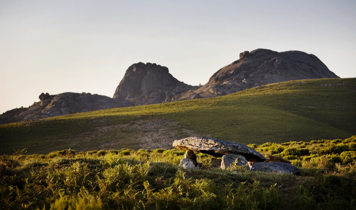
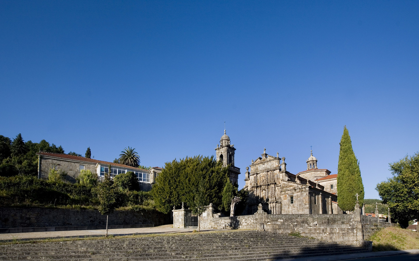
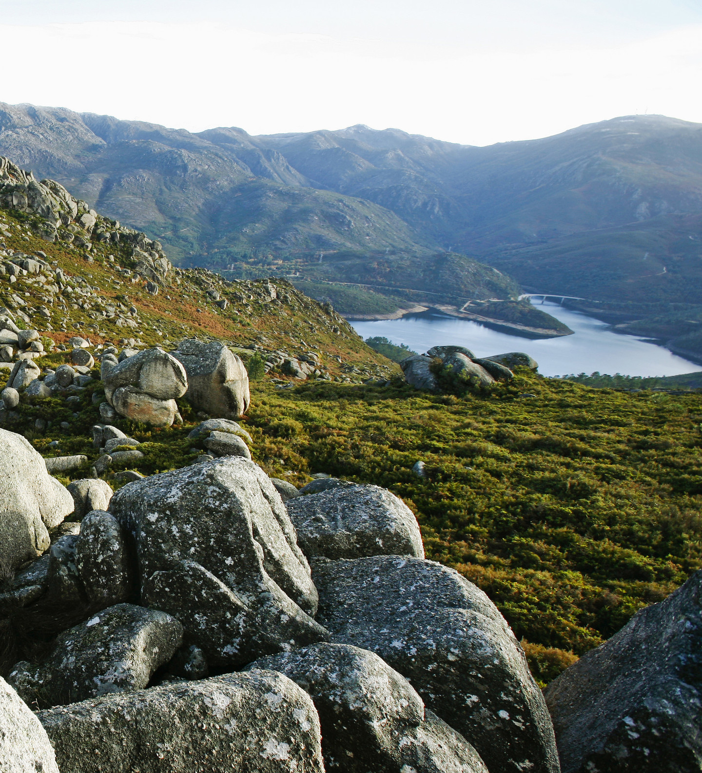
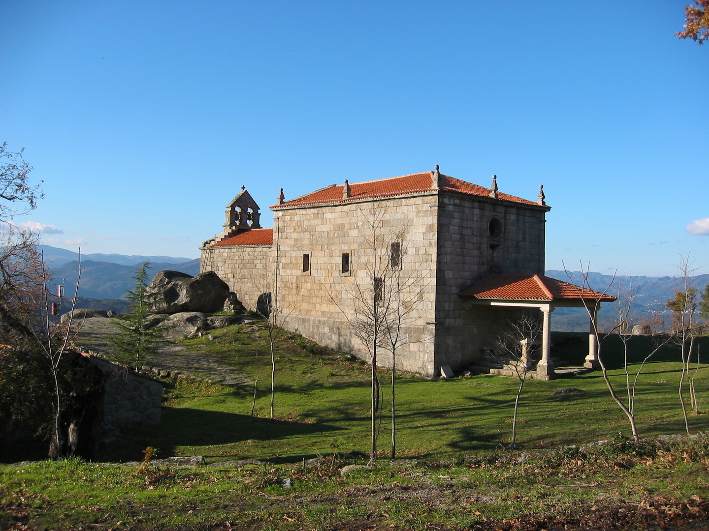
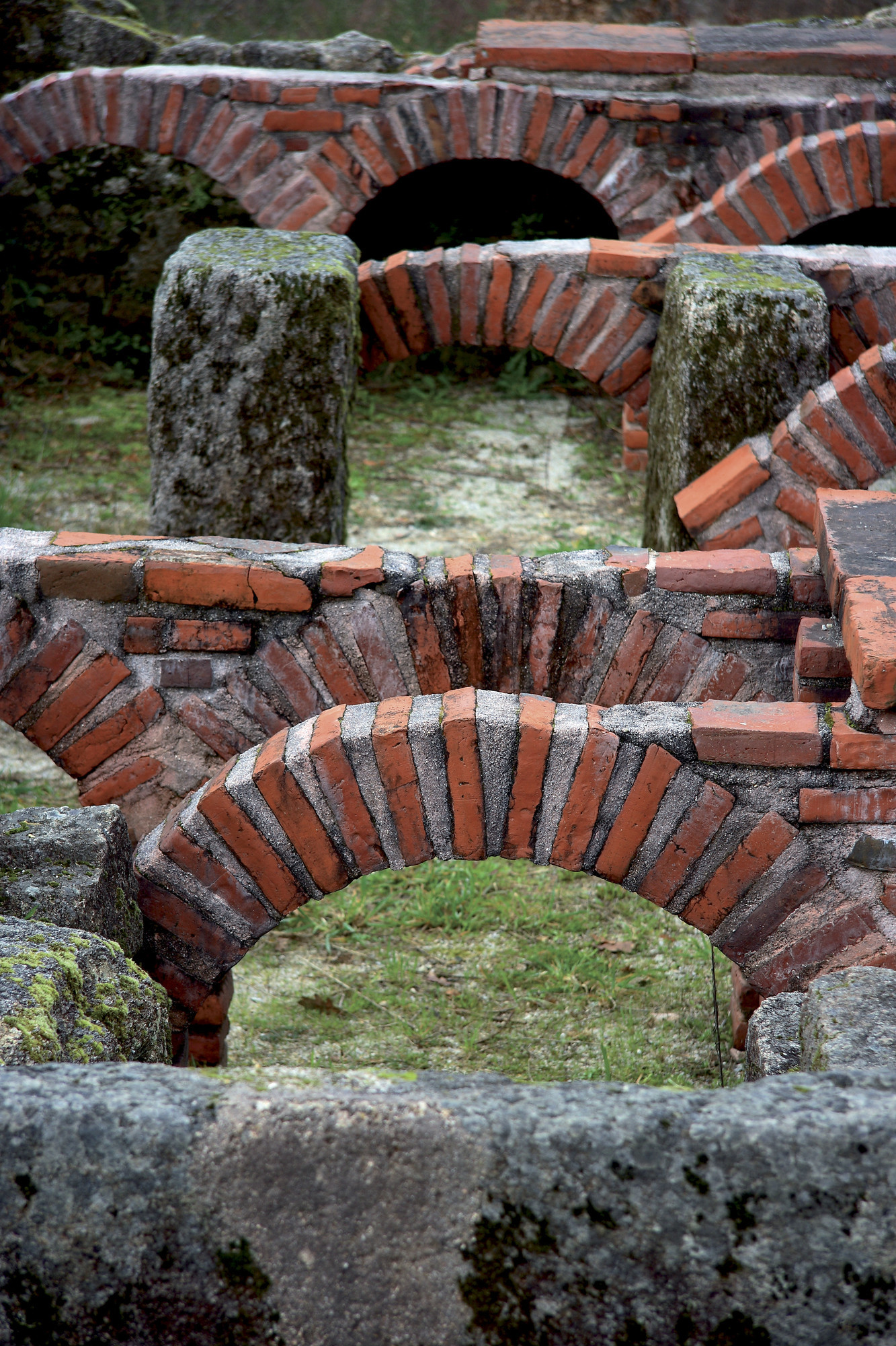
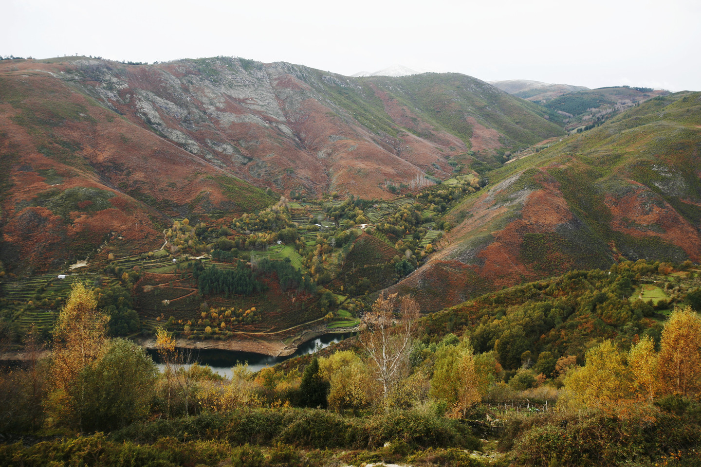
This region in the southwest of the province of Ourense stands out for its rich landscapes, fauna, and flora, including the Parque Natural Baixa Limia-Serra do Xurés the largest in Galicia with nearly 30,000 hectares. Along with the Peneda-Gerês National Park in Portugal, it forms a cross-border biosphere reserve where hundreds of animal and plant species, some endemic, find their habitat.

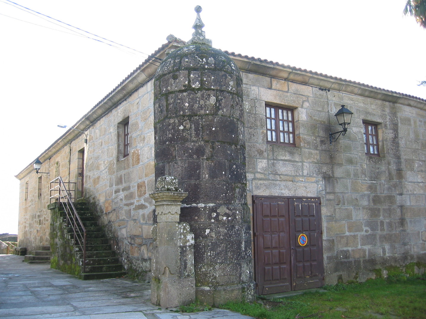
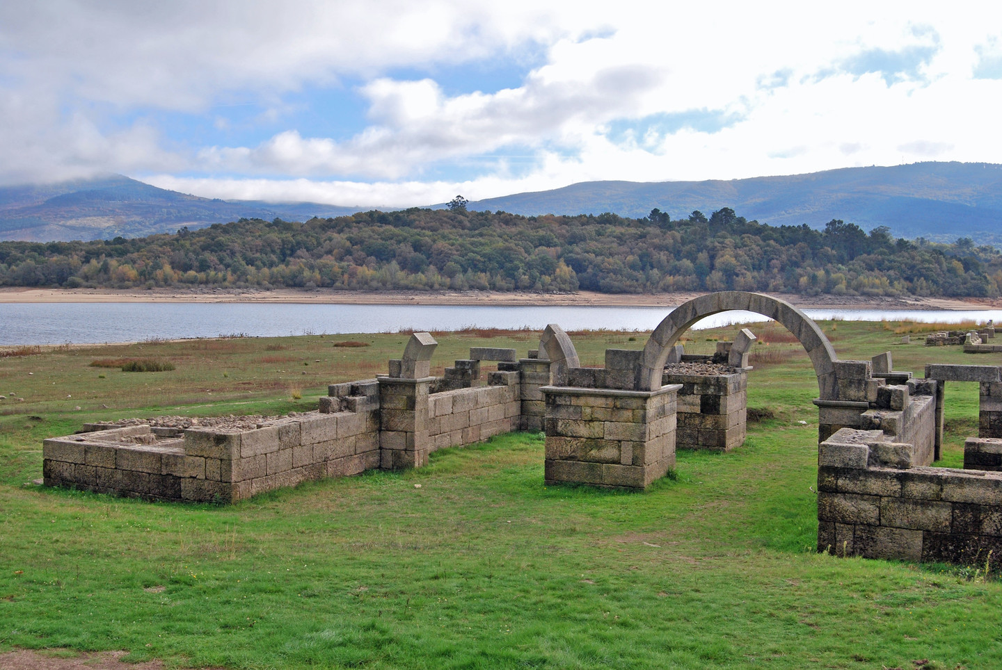
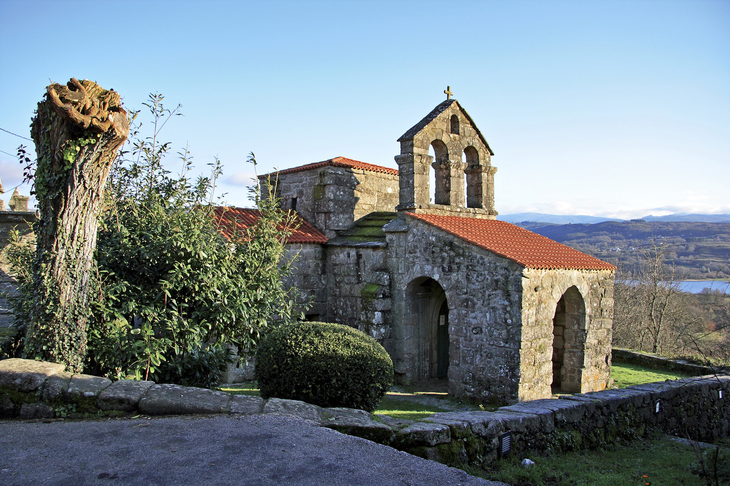
Without a doubt, this is one of the areas in Galicia with the greatest natural, landscape, ethnographic, and archaeological interest.

The mountain range is very rugged, unique in its morphology, and constantly offers grand panoramic views, with altitudes over 1500 meters that result in unique flora and fauna.

Water is the second major attraction. Firstly, there is the omnipresent Limia River, followed by numerous streams originating from winter snows and rains, forming constant waterfalls of great visual beauty in the Natural Park. Additionally, Baixa Limia houses three dams: Salas, As Conchas, and Lindoso. The dammed water provides travellers with the perfect setting for various nautical activities, combining leisure with sports.

Route

The route we propose is of low difficulty with the help of a vehicle and includes short journeys on foot. It is suitable for everyone and ideal to do as a family. It takes an estimated three days. The time distribution should just be taken as an example as each person can be vary it according to preferences.

Access to the area (Bande)...

  • We will turn off at Xinzo de Limia on the A-52, continue on the OU-301 road until it connects with the OU-540, Ourense-Portugal, in Bande.
  • From Ourense, take the A-52 and AG-31 towards Celanova, then follow the OU-540 to Bande, where we start the tourist route through Baixa Limia.

Day 1

Our first day begins in Bande, the head of a small municipality where the "Festa do Peixe” (Fish Festival) is celebrated annually (declared a Galician Tourist Interest Festival since 2013), highlighting the richness of the surrounding rivers. This town, also known for its Entroido celebrations, features the "troteiro" mask as the main character. We can visit the monumental church of San Pedro and the rector's house.

Next, the route will take the OU-540 towards Lobios, and at the place called "Os Baños," we will find a left turn leading to outdoor thermal pools by the As Conchas reservoir. Depending on the water level, they may be submerged. From here, we can walk along the riverbank to the Aquis Querquennis Roman site and its interpretation centre. Alternatively, we can continue on the main road and, a bit further, at Porto Quintela, take a left turn on the paved road leading to the interpretation centre, which also serves as one of the Natural Park gates.

Returning to the OU-540, we will then find a right turn leading to the Visigothic church of Santa Comba de Bande. We will leave the car in the car park before entering the village. First, we will pass the current parish church, and a few meters ahead, we will then find the walls housing this important pre-Romanesque monument of Baixa Limia.

Continuing on the OU-540 towards Lobios and the border, after passing the As Conchas dam, the road descends sharply, crossing the Limia River, already forming the Lindoso reservoir's tail.

After kilometre marker 60, we will find the turn for Entrimo, reaching Feira Vella. It is worth visiting the river beach of the Pacín River, which has a recreational area.. From here, a short and easy walk will take us to the Pozo Caído waterfall in an enchanting setting.

Next, we will head towards Terrachá, the municipal capital, to visit the 18th-century churrigueresque-style church of Santa María A Real.

From the centre of Terrachá, we will continue the route towards the village of Queguas. On the right, we will find the Pedreiriño Recreational Area, with beautiful views of the valley and the Santa Eufemia and Xurés mountain ranges to the south. To its left stands a statue of San Rosendo, a Galician nobleman and founder of the an Salvador de Celanova monasteryS. Continuing the itinerary, we will find a small chapel dedicated to Santo Cristo to the left of the road.

In Queguas, we can leave the car and follow the hiking route PR-G 27 a circular route of almost 7 km, which will take us to the Hermitage of the Ascension and the so-called Cortes da Carballeira, old corrals where livestock were sheltered, and the dolmen da Casa da Moura.

In the municipality of Entrimo, the final point of this day, there are various accommodation options.

Day 2

Our proposal for the second day is to take again the OU-540 road towards Portugal, crossing the Limia River and leaving the detour to Lobios on the left, to continue straight towards Madalena. Just over 6 km ahead, we will have the marked asphalted path that climbs to Compostela and the Church of San Salvador de Manín, also known as Aceredo, as it was moved twice, the last time due to the construction of the Lindoso Reservoir.

After visiting Manín, we will return via OU-540 to the marked crossroads for Lobios and Portugal through Portela do Home.

When arriving in Lobios, we can visit the Church of San Miguel and approach the neighbourhood of Fondevila, where there are numerous horreos (granaries) here called canastros. This visit helps us get a clear picture of the agricultural wealth of the region in the past.

Nature lovers can visit the Serra do Xurés Natural Park Interpretation Centre in Lobios, where they will provide all kinds of information related to the park and its resources.

Continuing the route, we will take the OU-312 road towards Portela do Home. Upon arriving in Vilameá, we will find the Chapel of Santa Lucía, where you can access the Muíños de Vilameá (Vilameá Mills) route and the Hermitage of Nosa Señora do Xurés. We will cross this locality, and after the last houses, a path begins that will lead us to a bridge and the first mill of this small hiking route along the river. Following the road, we will then climb to the hermitage, where we can see the Stations of the Cross in three chapels with images of Jesus Christ on the way to Calvary.

If we continue again on the road from Vilameá to Portela do Home, we will reach the place of Baños, where the spa and a river beach ideal for spending the day with family are located. There is also a free outdoor thermal pool where you can bathe all year round, especially in the cold seasons, as the water at the exit point reaches a temperature of 42 degrees.

You can leave the car near the spa and take an interesting walking route. This will take us one or two hours depending on how far we want to go. A few meters from the start, on the right, we will find the remains of the Roman village of Os Baños de Río Caldo, also known as Mansio Aquis Originis. Then, resuming the path, a trail ascends to the A Corga da Fecha waterfall. The first section is of low difficulty, while the last uphill part is of medium/high difficulty.

Continuing towards Portela do Home, we will pass through Torneiros, where there are several groups of granaries. After this village, we will have a place to park on the left that serves as a viewpoint towards the Serra do Xurés and the A Corga da Fecha waterfall. After crossing the Caldo River, we will find the recreational area of Miliarios, where we can visit a group of Roman milestones and, on the left side of the road, the reconstruction of a section of the Roman road Via Nova that connected Braga with Astorga. Part of the route along the Roman road can be done on foot and linked with the route of the Corga da Fecha waterfall.

As the final point of this day, we can approach Portela do Home, on the border with Portugal, and enjoy the views of the Caldo River valley and the surrounding mountains.

In the municipality of Lobios, we will find various accommodation options to spend the night and start the last stage the next day.

Day 3

On the third day of the route through the Baixa Limia region, we will leave Lobios to visit Muíños, a municipality situated between the valleys of the Limia River and the Salas River, at the foot of the Pisco mountains.

We will take the provincial road OU-1202, passing through Portaxe, Xendive, and skirting the Conchas reservoir. After passing through the village of Cados, about 13 km from Lobios, there is a signposted right turn that leads up to the Chapel of the Virxe da Clamadoira which offers beautiful views over the reservoir.

Next, we will descend to Mugueimes, which has a magnificent recreational area and the Corgo Tourist Complex, offering camping facilities and installations for leisure and sports activities at the Conchas reservoir. Here, we also find one of the visitor reception centres of the Parque Natural da Baixa Limia-Serra do Xurés. We can also visit interesting monuments such as the parish church, where the bell tower roof is made of overlapping stone slabs.

From Mugueimes, our route heads towards the parish of Santa Baia das Maus de Salas. After passing Porqueirós on the left, we will find a road to the right. There is a sign indicating the main monumentos megalíticos of the area Upon reaching the edge of the reservoir, on the right, we will find A Casiña da Moura. We will cross the Salas River via the dam, which requires attention as it is a narrow passage barely wide enough for a car. On the other side, we can visit Casola do Foxo, named after its proximity to an ancient wolf trap - an enclosed area used for hunting this species. A few meters away is also the Munixeito dolmen, where you can observe the orthostats.

Following the road that skirts the reservoir to the south, we will arrive at Requiás. From the centre of the village, a paved track ascends to Pitões das Júnias, now in Portuguese territory. Upon reaching the border, to the left, there is a dirt track that leads up to the viewpoint of Pisco. It can be accessed by car, although depending on its condition, we recommend walking this stretch of just 2 km. From here, we have magnificent views of the Baixa Limia region, with the Salas reservoir in the foreground and the Serra do Xurés mountains to our left.

Returning to Requiás, we will continue towards Guntimil, crossing the Salas River over a narrow bridge. A few meters further on, next to the road, there is a dolmen on the left. To the right, a path leads to another of the dolmens in the group known as Outeiro de Cavaladre.

We will head back towards Mugueimes and from there to Bande, where we will conclude our route through Baixa Limia.

Arriba