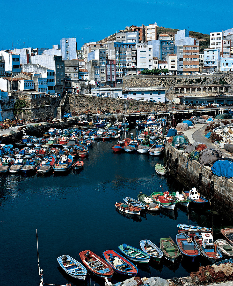
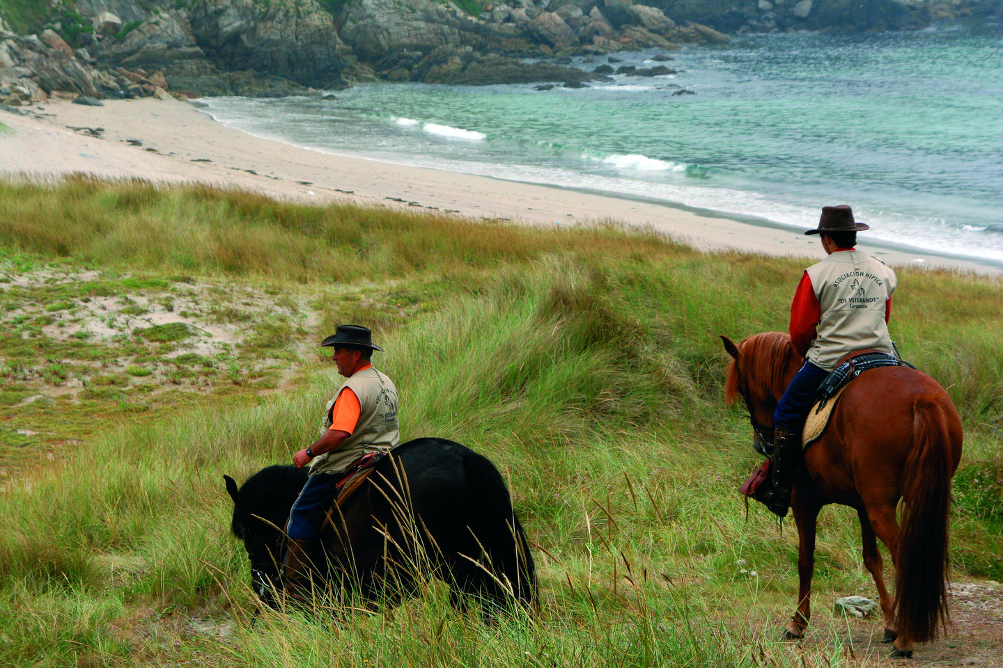
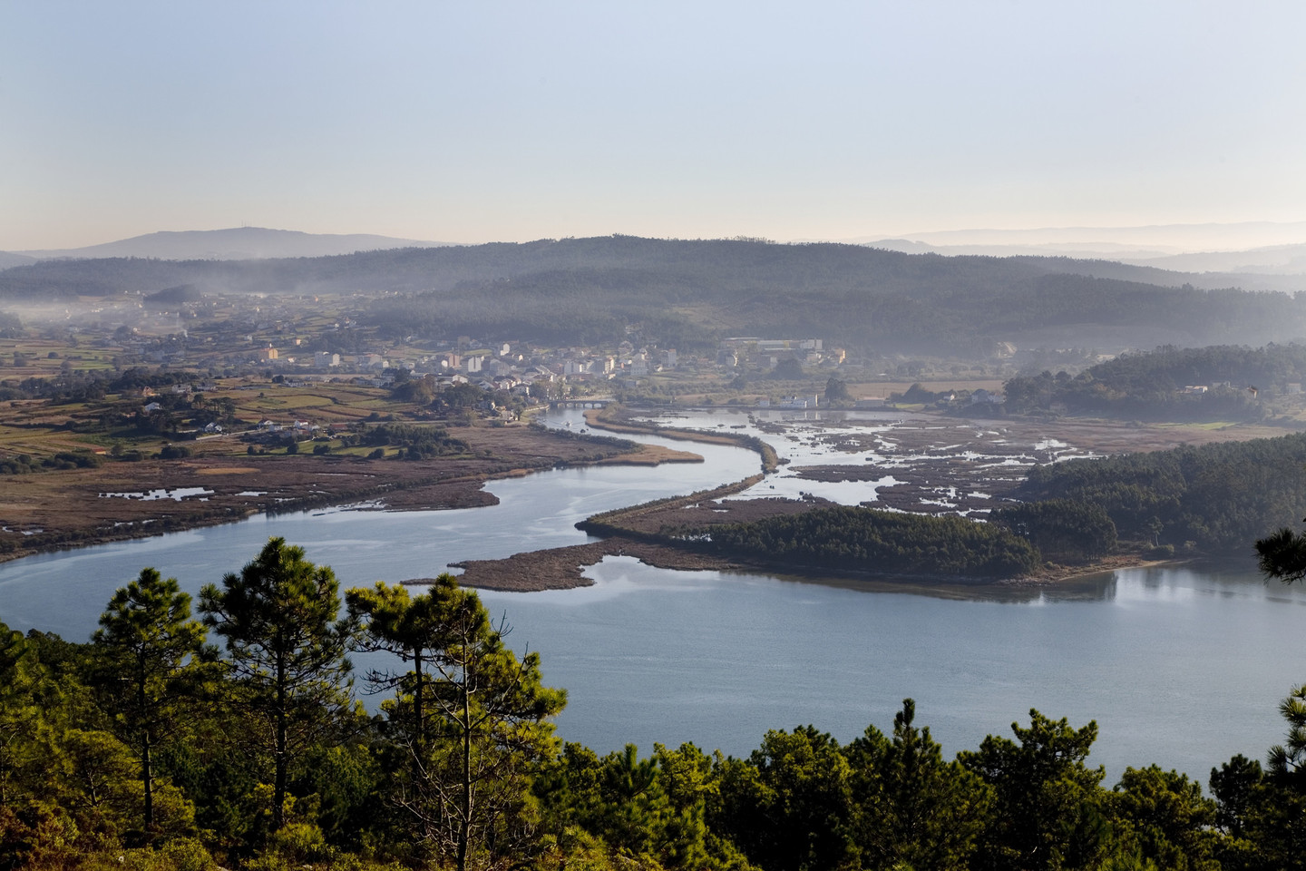
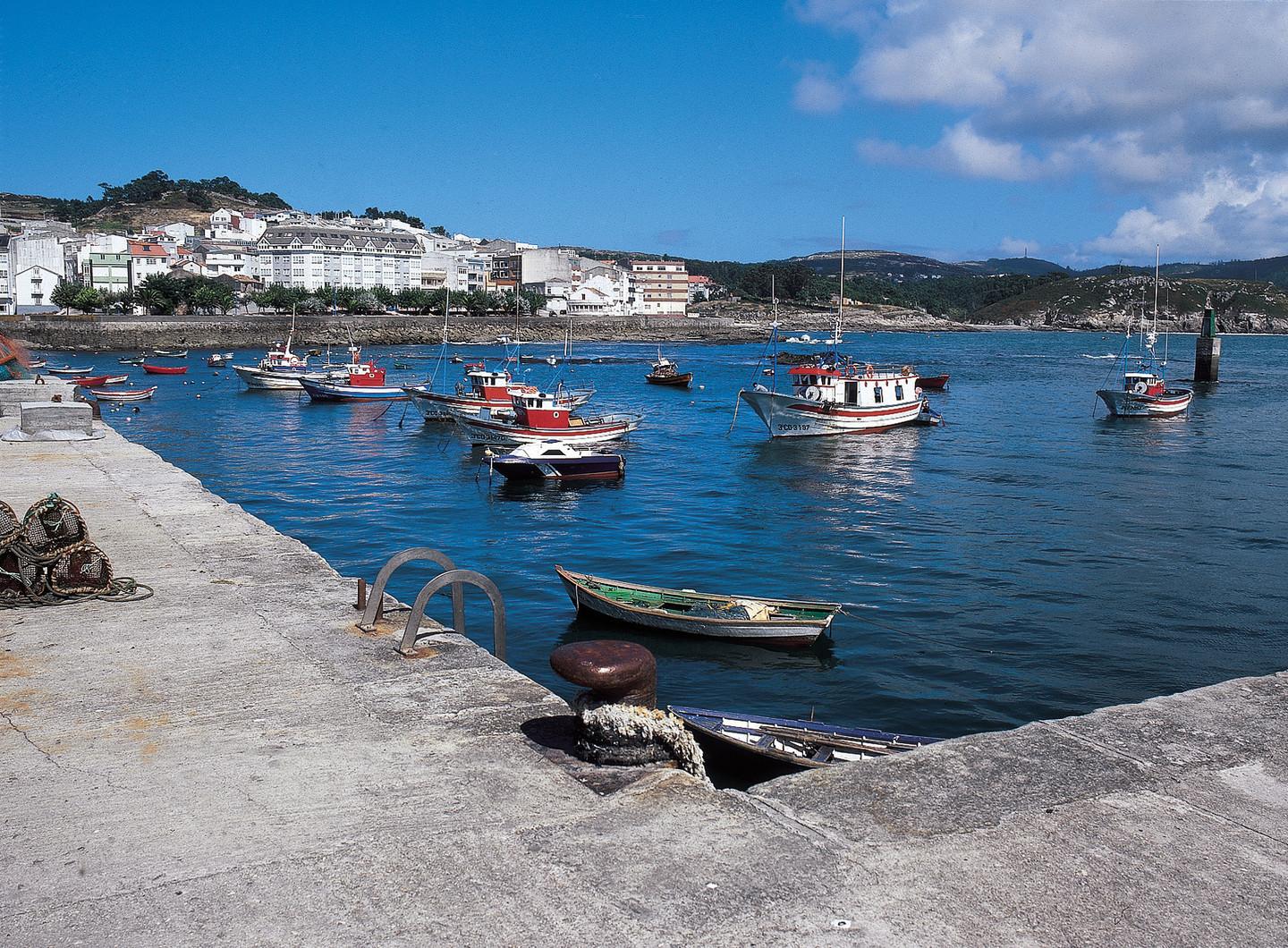
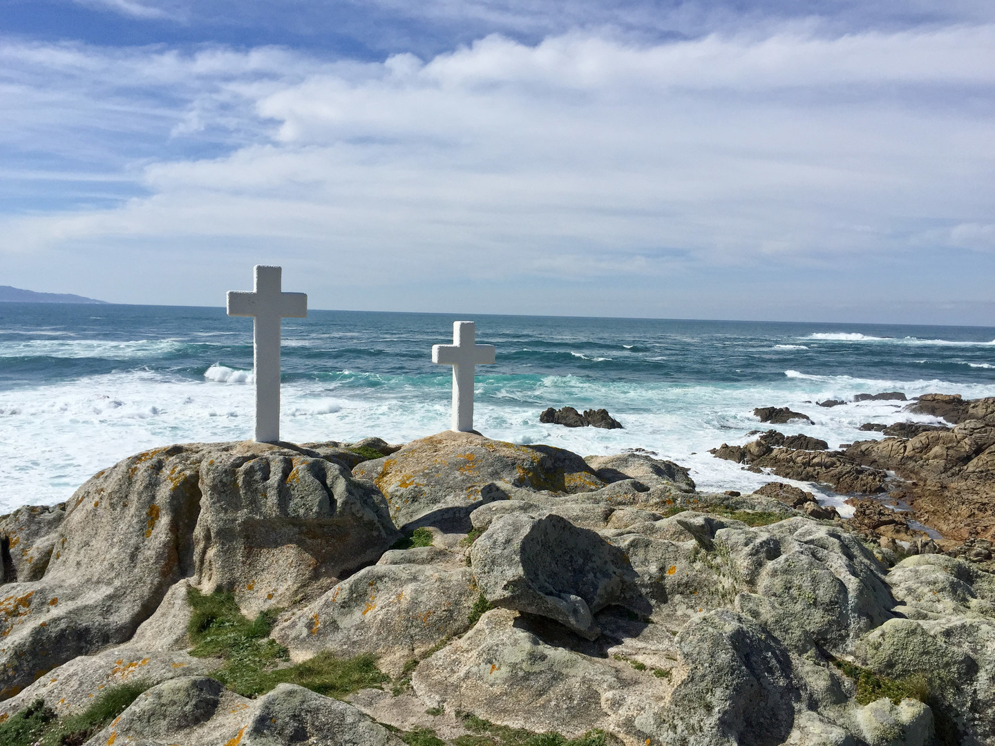
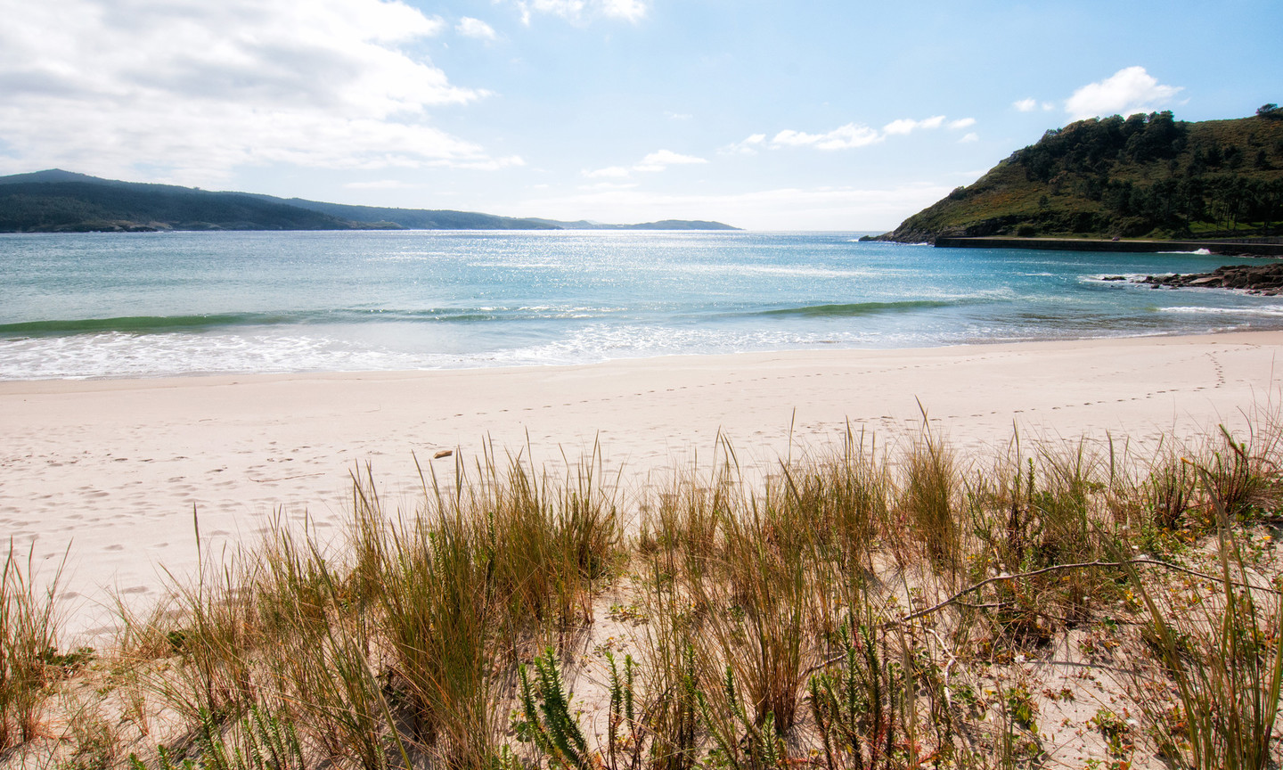
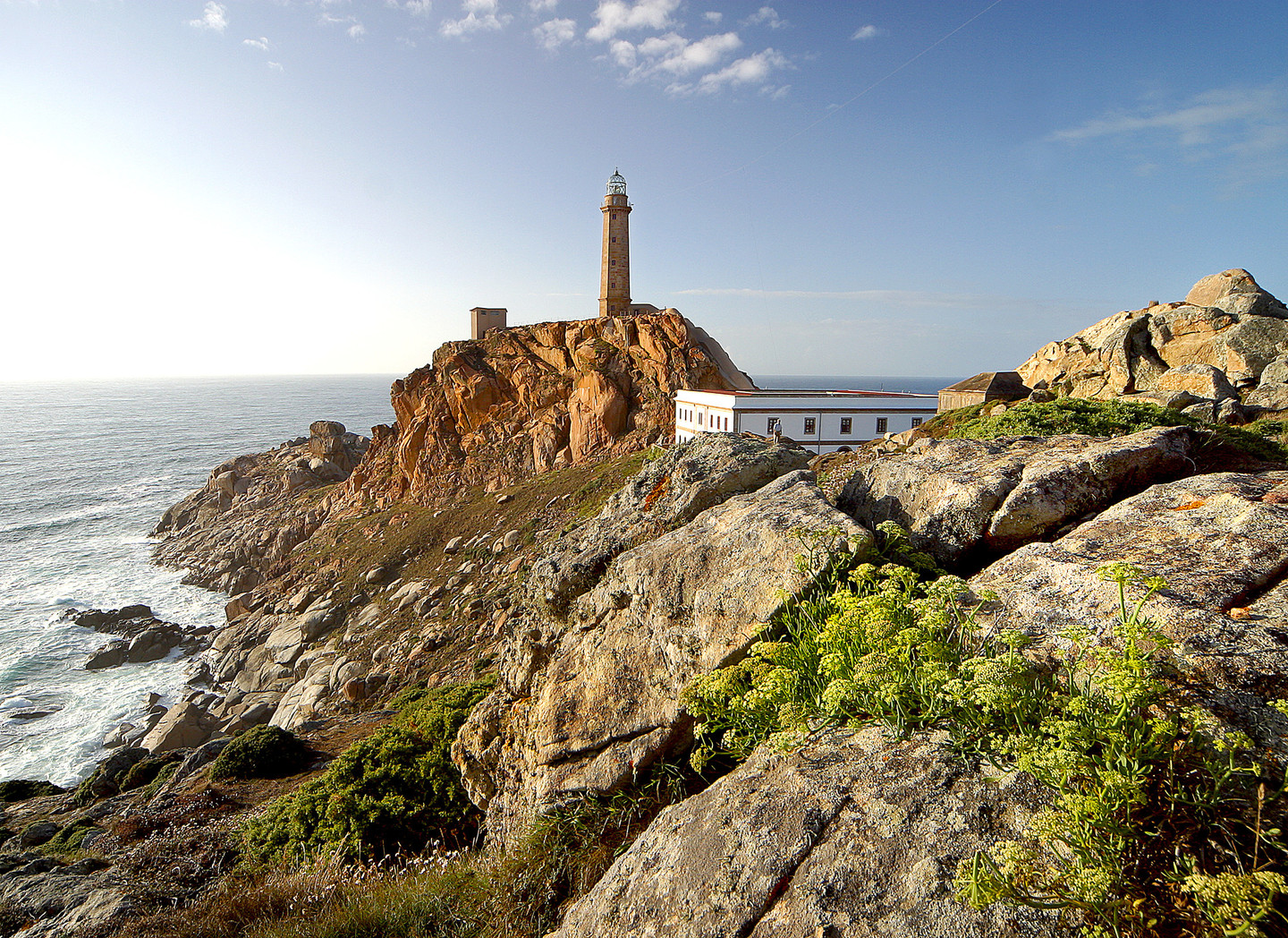
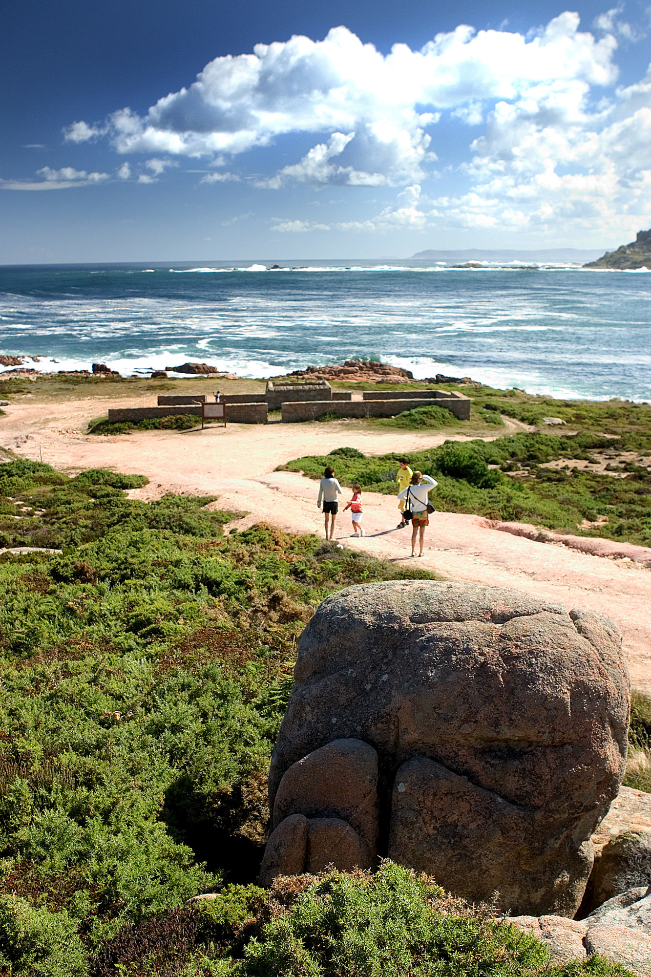
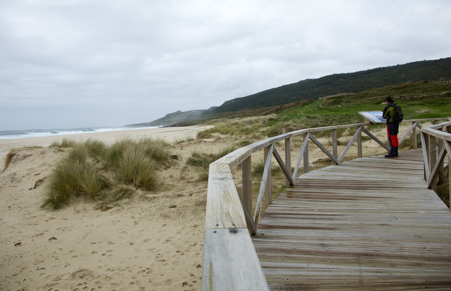
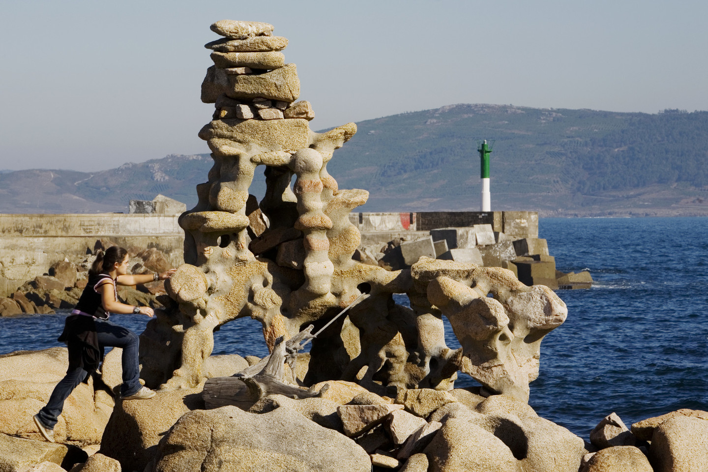
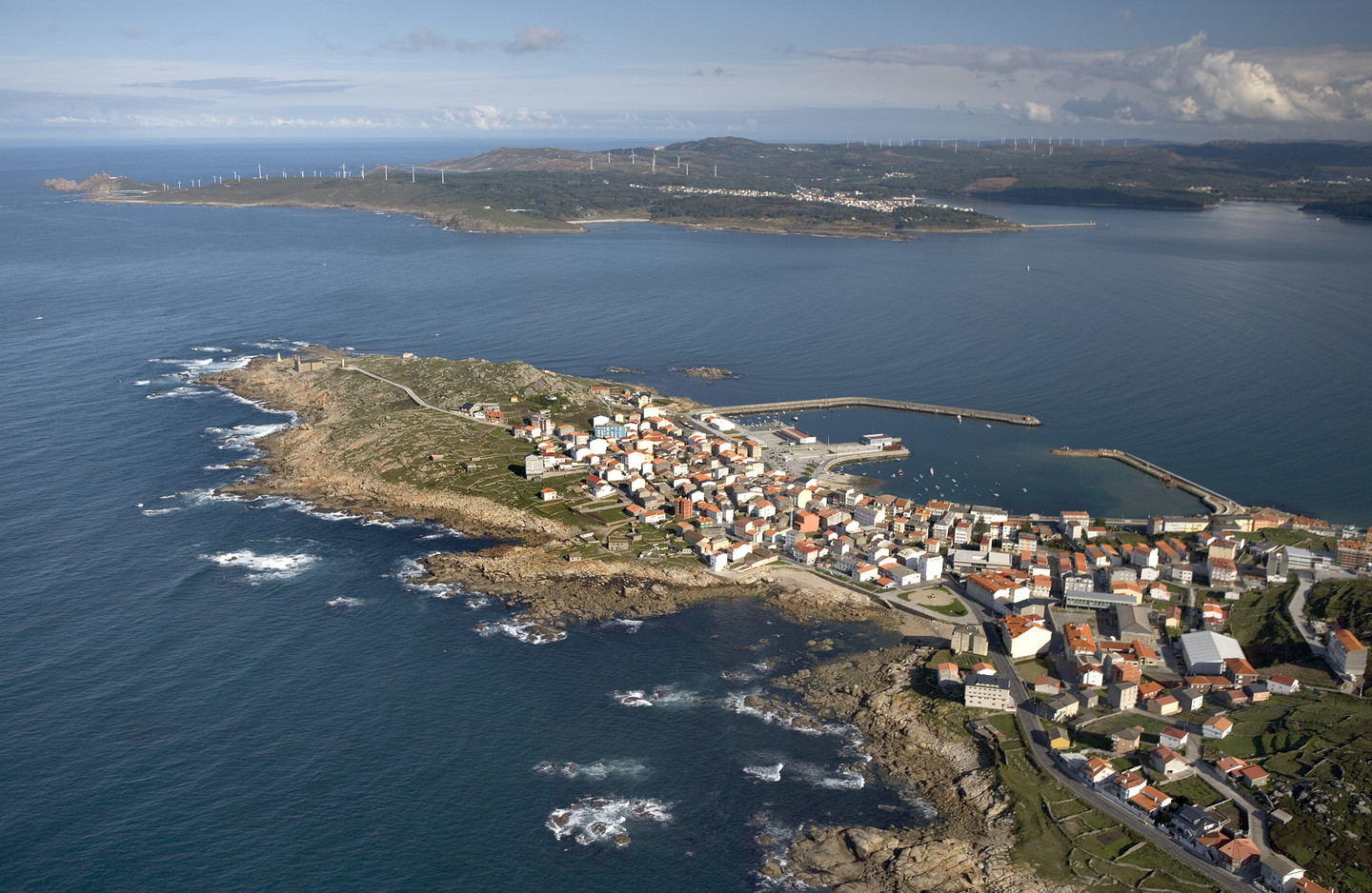
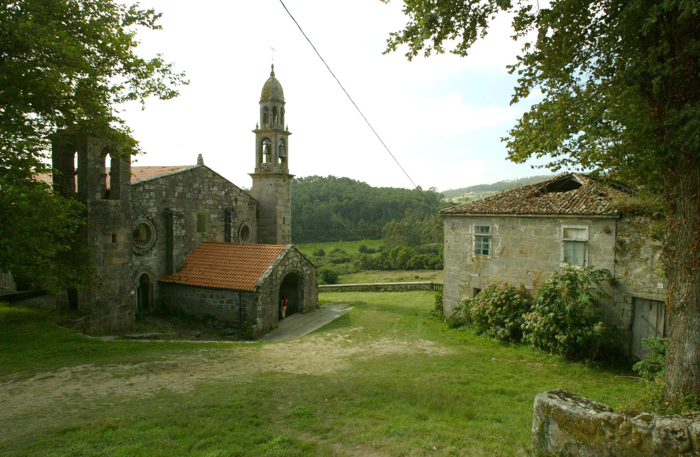
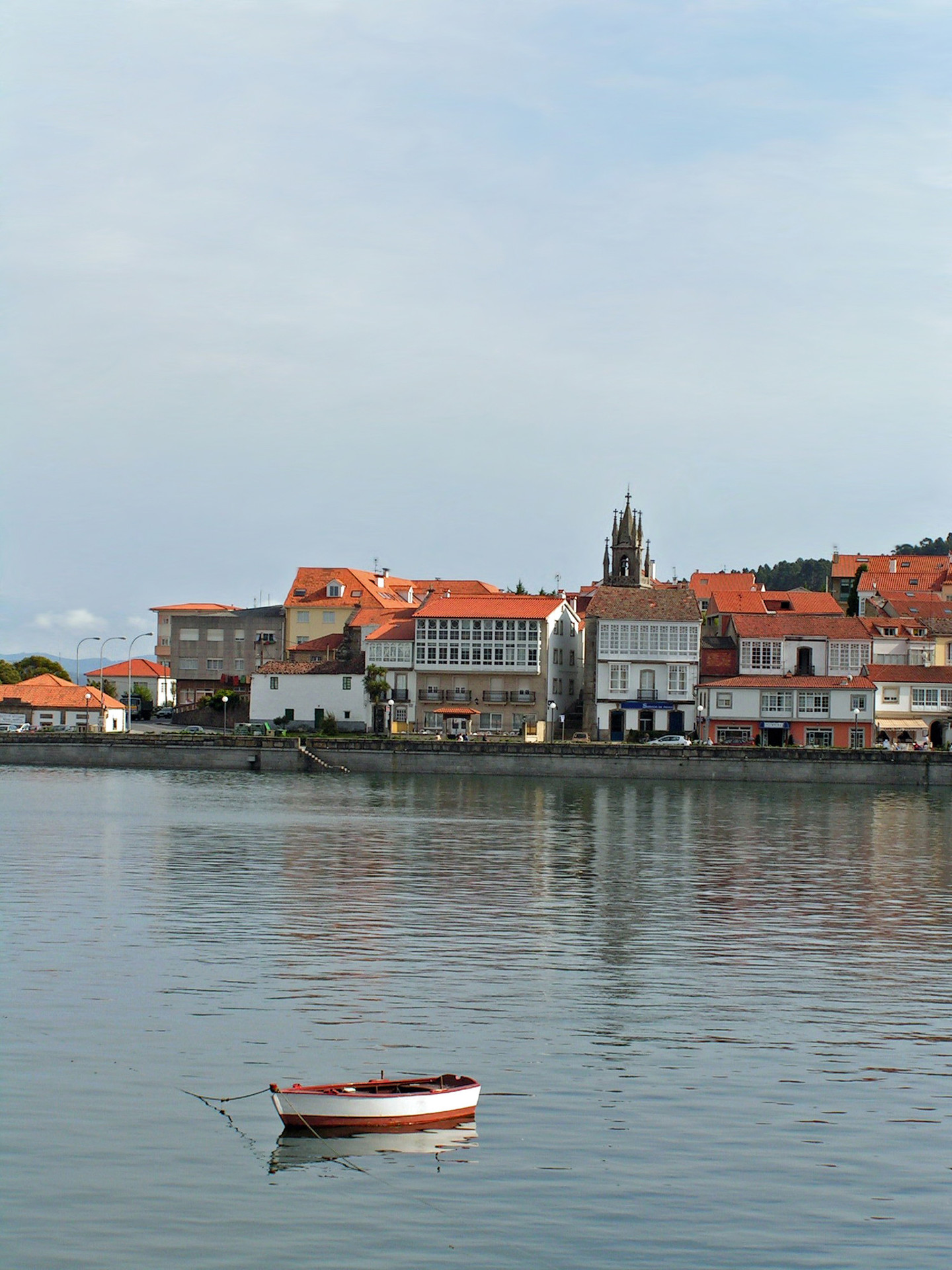
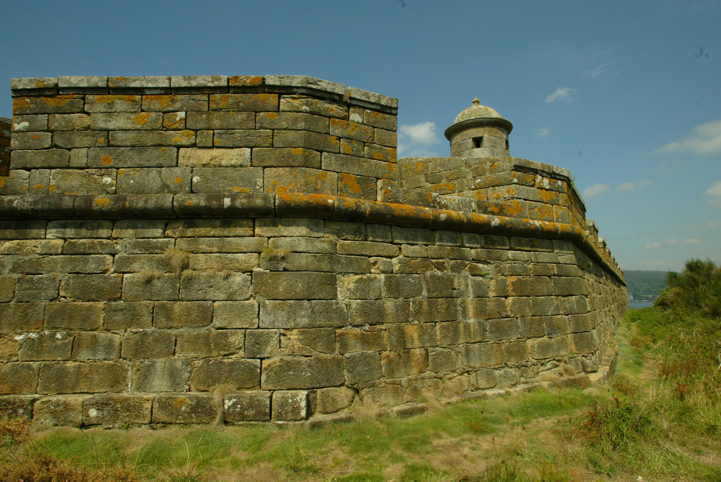
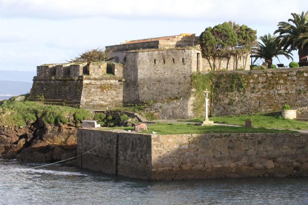
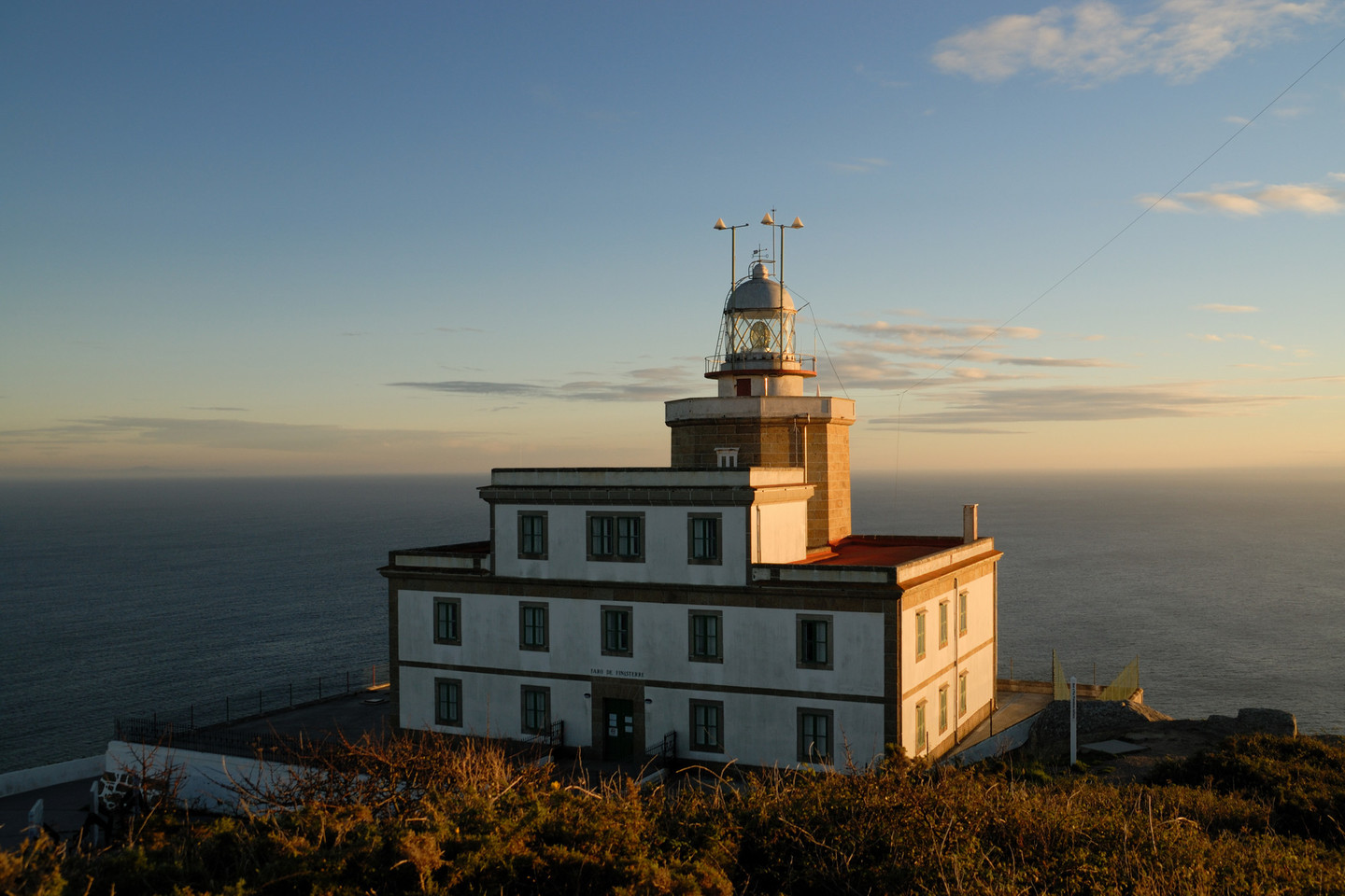
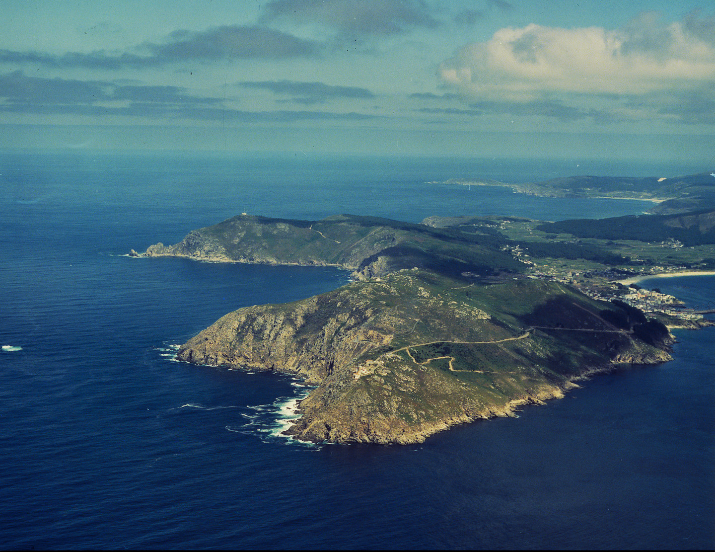
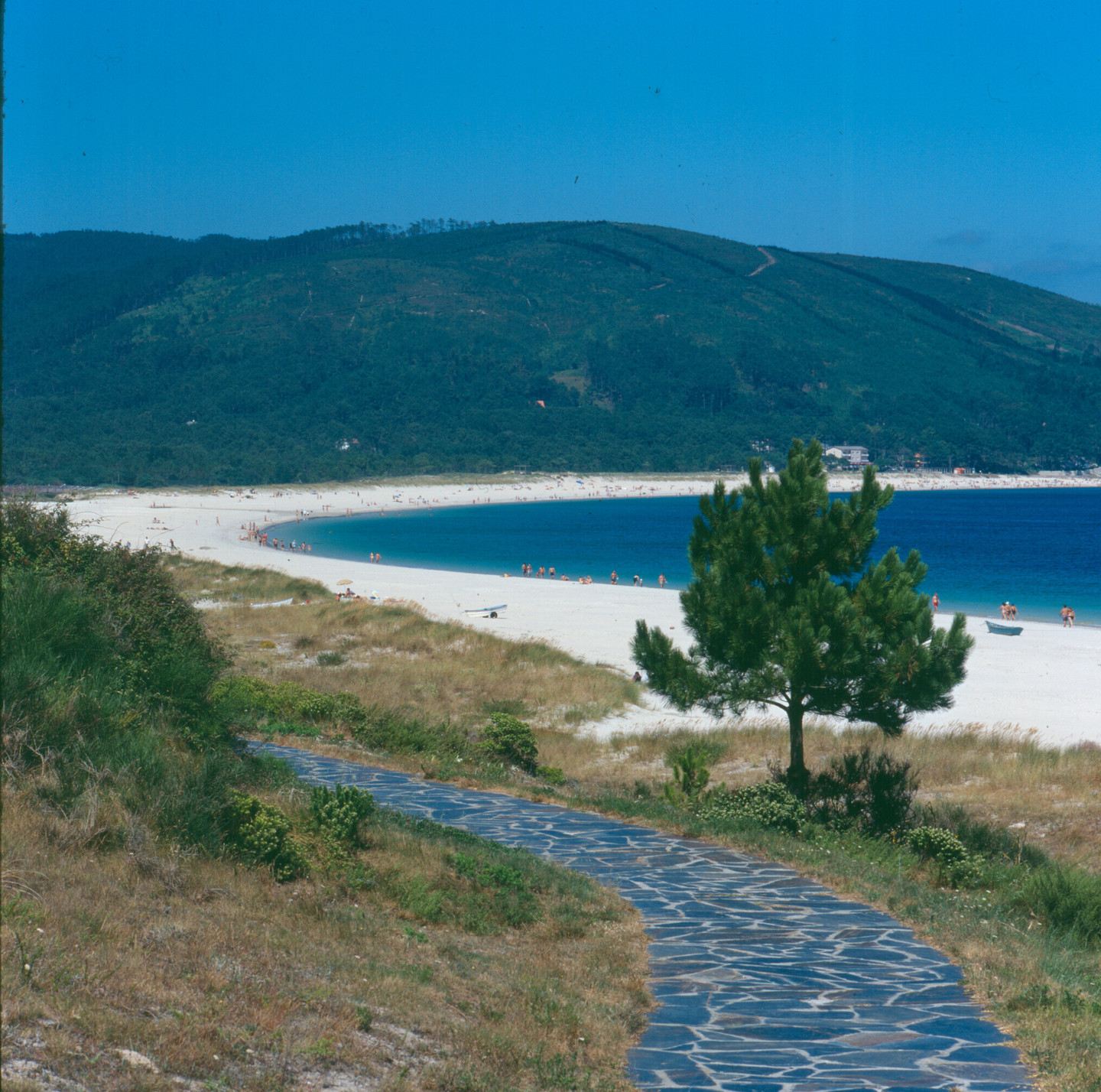
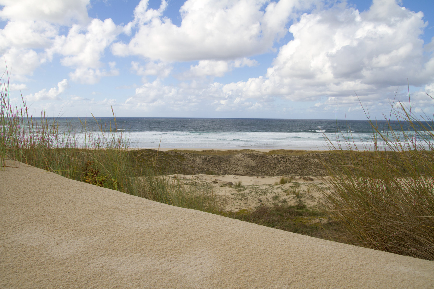
The Costa da Morte stretches over tens of kilometres along the north-western coast of Galicia within the province of A Coruña. On this coast, we find deserted beaches, coves and cliffs. Its capes, such as those of Fisterra, Touriñán and Vilán, jut out into a wild ocean of constantly choppy waters.

All of this creates an unmistakable landscape, which is the area's identifying mark.

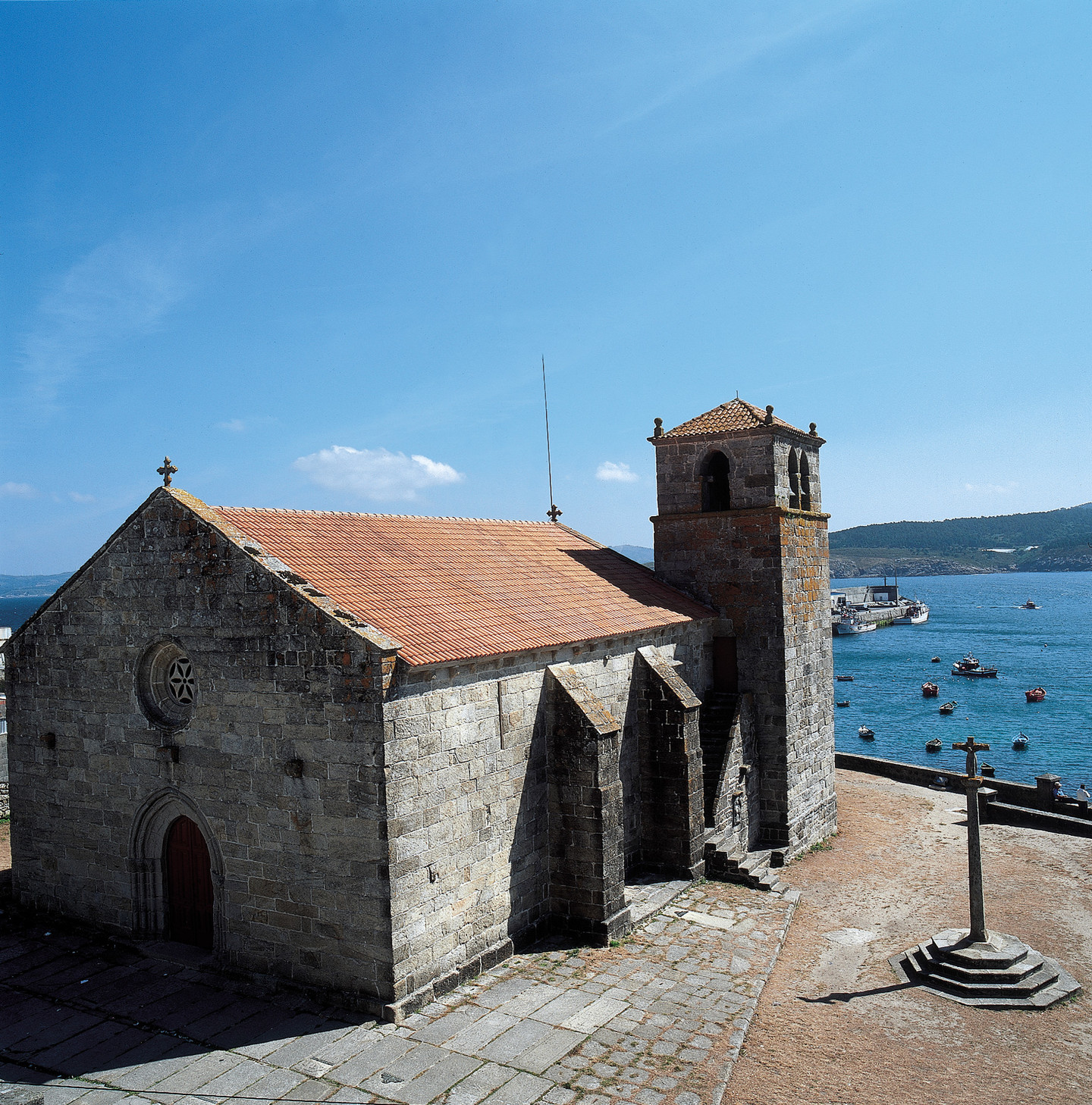
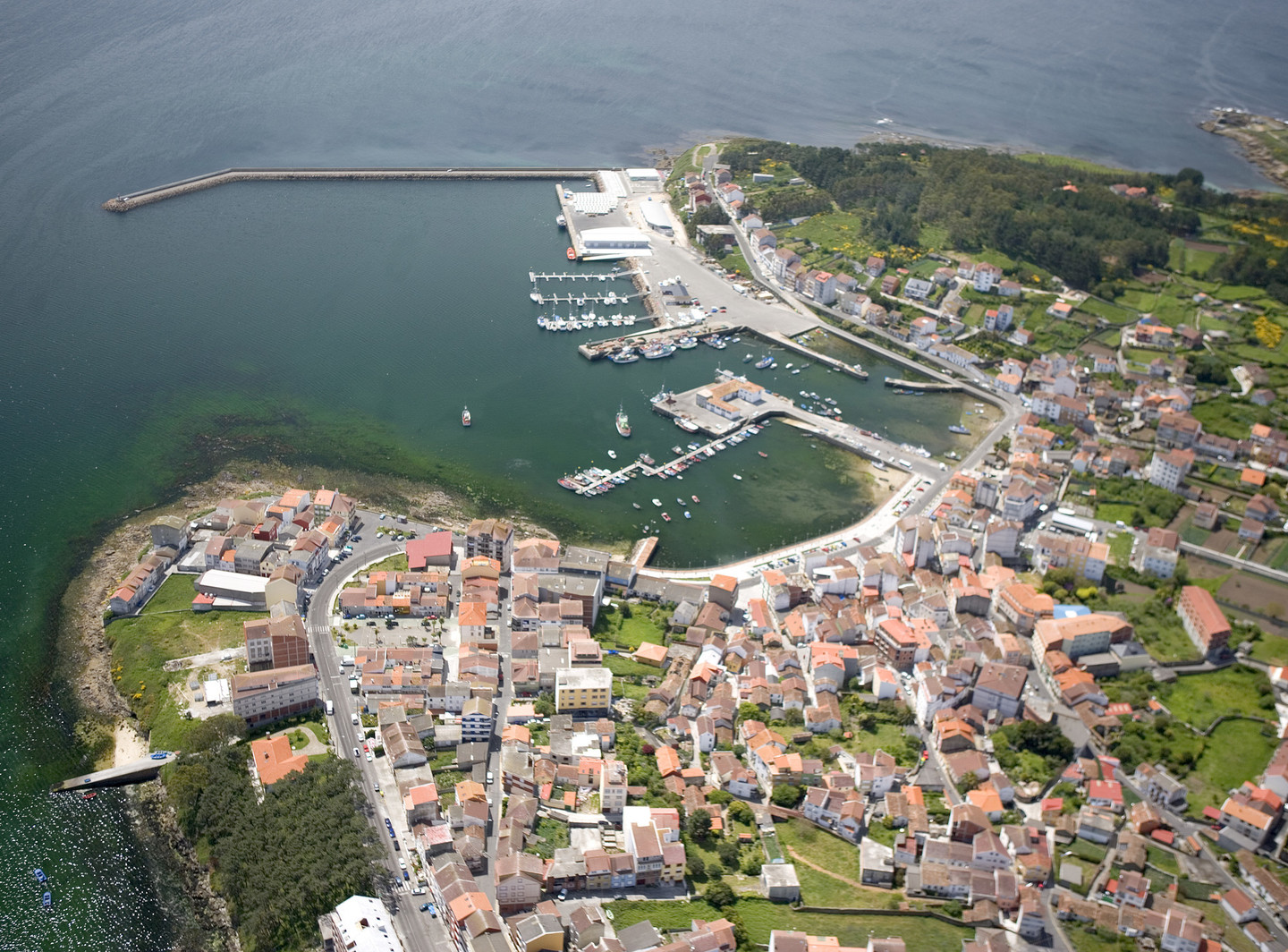
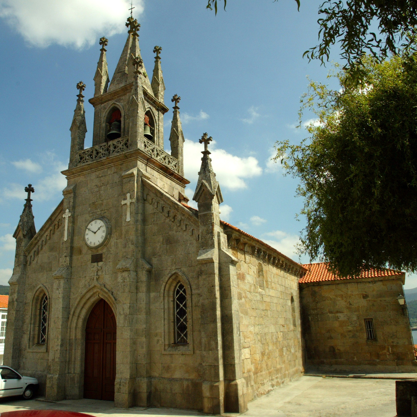
Its towns invite quiet walks with time to sit and watch the men and women who live off the sea as they carry out their daily tasks. It is a land of mystery, of legends and myths. Its beautiful scenery and cultural interest make it a unique area that holds a special charm for visitors.

Due to its high ecological value, this part of Galicia contains two Sites of Community Importance (almost the entire "A Costa da Morte" and the River Anllóns), a Specially Protected Birdlife Reserve (Sisargas Islands) and a Protected Landscape (Penedos de Pasarela e Traba). Inland, the land forms gentle hills, carpeted with fields of corn, pastures and forests.

The character of the Coast of Death has been marked by the fact that it constitutes Europe's western frontier. Since ancient times, humans have believed this place to be Finisterrae – the end of the world – the gate to the afterlife. After their arrival, the Romans witnessed and described the spectacle offered by the sun sinking into the Atlantic Ocean, a scene that has stayed in the collective imagination of ancient civilisations from way back in history.

It is a region rich in prehistoric cultural sites. A visit to the Dombate Dolmen or the Borneiro Castro (Celtic settlement), both sites of great value, will take us back thousands of years in time and give us some idea of the life our ancestors led. With the arrival of Christianity, many of the sacred places of the first settlers of these lands were adapted to the new beliefs.

Even in the religious ceremonies of today one can still perceive traces of an ancestral pantheism and paganism. At the Shrine of the Virxe da Barca (Virgin of the Boat), thousands of devotees gather every year to participate in one of the most important pilgrimages in Galicia.

In front of these lands, a significant portion of North Atlantic maritime traffic sails. Taking into account the jagged coastline and the numerous storms that the area suffers during the winter months, it is not surprising that the Costa da Morte was the scene of a great many shipwrecks and all along the coast crosses have been placed in memory of the victims.   The "Cemiterio de los Ingleses" (English Cemetery) is thus named in memory of the many who drowned when the English ship, the Serpent, went down in 1880.

The lifestyle of the inhabitants of the Costa da Morte is closely linked to the sea. Their economy is based on fishing and shellfishing. One of the most representative images in this area is that of the "percebeiros", barnacle collectors who jump from rock to rock as they dodge the incoming waves. Logically, these villages' gastronomy takes advantage of the great quality and variety of fish and seafood available here.

On the "Costa da Morte" the traditions of its old trades and crafts are still maintained today. Bobbin lace, particularly that from Camariñas, as well as from other towns, received international recognition. Moreover, Buño has been famous for centuries for its pottery activity.

Route

We propose a route that is low in difficulty. With the help of a vehicle, we walk short distances that are suitable for all ages and ideal for families. It takes approximately three days. The time distribution should be taken just as an example, as it can be varied according to individual preference.

Day 1

We propose a route of low difficulty. With the help of a vehicle, we will take short walks suitable for all audiences and ideal for families. The approximate duration is three days. The distribution of time should be taken as an example, as each person can adjust it according to their preferences.

On the first day of our journey, we will start from Buño, a town known for its pottery tradition. Visitors should not miss the opportunity to purchase a piece of its ceramics. The sales establishments are usually also workshops, so we can witness the potters' work live.

We will leave Buño and head towards Malpica. At Filgueira, we will take the service road towards the campsite and approach the Pedra da Arca , one of the megalithic monuments found in the region.

Upon reaching Malpica de Bergantiños, we will head to the port, a great place to soak in the maritime atmosphere and observe the unique morphology of the town. The houses cling to the rocks, overlooking the quay and the Atlantic waters. After a pleasant stroll through the nearby streets, we will head towards the upper part to the viewpoint, from which we enjoy good views of the Bergantiños coast.

We leave Malpica and continue our journey towards cabo San Adrián, located just 4 km away. Nearby is the Sanctuary of San Adrián do Mar. Every June, this enclave hosts a pilgrimage celebrated with great devotion. Countless pilgrims come to ask for or, if applicable, thank the saint for his favours. The sanctuary is a privileged natural viewpoint over Malpica and the Sisargas Islands, located just in front.

We will then return to Malpica and head towards Ponteceso, a town located 13.2 km away. We will travel along a local road that passes through the towns of Beo, Mens, Cores, and Nemeño. In Mens, we should stop to see the ancient castle of the same name The Torres de Mens, as the fortress is called, were built in the 14th century and restored while preserving much of their original structure. The castle is visible from the road, but public visits are not allowed as it is private property. We can visit the 12th-century Romanesque Church of Santiago, with its nearby polygonal apse tower.

Minutes later, we will arrive in Ponteceso, the birthplace of the great Galician writer Eduardo Pondal, one of the key figures of the Rexurdimento (the revival of Galician culture and literature in the 19th century) and the author of the lyrics of the Galician anthem. For those who love hiking, the PR-G 148 is a circular route that takes us from this town to the Port of Corme. If we do not want to take this walk, we can continue by car on the AC-424 and turn towards the beautiful Balarés beach after visiting Monte Branco, the most emblematic geographical feature of this region. From the summit, we can enjoy a spectacular view over the estuary formed by the Anllóns River as it meets the sea. This natural space is home to numerous species of both plants and animals. From the viewpoint, we can see Laxe, the Port of Corme, Cabana de Bergantiños, and even Ponteceso.

Returning to the AC-424 road, we will head towards Corme. We will take the signposted detour to Niñóns to visit the chapel of the Virxe do Faro. From this point, we will have an excellent view of the entire coastline. Very close to the chapel is a large monument in the form of a lighthouse. We will then return to the road we came from Ponteceso and head to the port of Corme, another typical fishing village in this region. A short distance away, jutting into the dangerous waters of the Atlantic Ocean, is the Punta do Roncudo. The barnacles that grow on its rocks are considered some of the best on the Galician coast. In addition to its exceptional seafood, the cliffs of Roncudo are also known for their danger. Many barnacle gatherers have met their end on this rugged cape. In memory of these people, numerous crosses have been erected on the rocks over the years.

On our way back to Ponteceso, we can make a small detour to visit the Pedra da Serpe, where a petroglyph depicting a serpent and a cross blend together, showcasing the mix of Christian religion and traces of earlier times.

From Ponteceso heading towards Laxe, we will turn off at Grelas to visit the castro da Cibdá of Borneiro and the famous dolmen de Dombate, two archaeological sites among the most valuable in Galicia. The latter, located a few meters from the road, has been protected by an attractive wooden and glass building that helps with better preservation and visualisation of the monument, as well as an interpretation centre for a better understanding of the megalithic culture in the Costa da Morte.

From Borneiro, we have the option to go to Baio and continue towards Carballo to visit the Torres do Allo. A 16th-century manor house that hosts an interpretation centre about the complex itself and the Costa da Morte. Don’t forget the dovecote and the fountain near the manor, and the Church of San Pedro, with a curious cemetery and three granaries showcasing the local construction style. We can also opt to continue towards Vimianzo from Baio to visit the Batáns do Mosquetín, an interesting ethnographic complex with several mills.

We will then retrace our steps back to the Grelas junction, from where we head to Laxe. This fishing village offers a beautiful beach with calm waters, perfect for bathing the little ones. The long sandy stretch of nearly one and a half kilometers reaches the very centre of the village. Regarding its cultural heritage, it features a church with Romanesque elements, Santa María da Atalaia, and a chapel in honour of Santa Rosa de Lima situated on top of a hill, offering excellent views of the entrance to the estuary, as well as from the faro de Laxe, which can be accessed by crossing the village and leaving the so-called Praia dos Cristais to the left.

If you still have time, you can even walk up to the beautiful wild beach of Soesto, since it is only about one and a half kilometres from the village.

In Laxe, a town that offers various accommodation options, we conclude this first day along the Costa da Morte.

Day 2

On this second day, we will leave from Laxe heading towards Ponte do Porto, turning off about 6 km towards the Church of Santiago de Traba and the lagoa de Traba. The latter, a coastal lagoon with an outlet to the sea, harbours numerous species of flora and fauna in its dunes.

Returning to the road we came from, we will then continue in the direction of Ponte do Porto. In this town, we will cross the Rio Grande to reach the Port of Cereixo and visit the complex of the Torres de Cereixo and the Church of Santiago, built in the twelfth century.

Next, from Ponte do Porto, we will head to Camelle, a small village located about 6 km away. There, we find The Casa-Museo de Man. Manfred was a German who lived in full harmony with Galician nature for decades. By the sea, he gathered sculptures he created himself from various materials, arranged in all sorts of forms and painted in many different colours.

From this point, we will have two options. The first of them is to return to the Ponte do Porto and from there head to Camariñas and Cabo Vilán. The second is to walk around 20 km, along the coast thourgh the village of Arou, and from Santa Marina continue on a dirt track that will lead us to Cabo Vilán and then to Camariñas. This latter route should only be taken if we have a suitable vehicle, as we might encounter obstacles depending on the condition of the dirt track due to weather conditions. An all-terrain vehicle is the most recommended option. If we choose this second possibility, we can visit the enseada de Trece with the cemiterio dos Ingleses and the Foxo do Lobo, before arriving at Cabo Vilán and enjoying magnificent views of the coast.

Either way, we will stop in Camariñas. This town is the birthplace of the prestigious lace-making tradition, carried out for centuries by local lace-makers. Beyond the value of the pieces, watching the artisans work and seeing their fingers skilfully handle the threads to the rhythm of their characteristic sound is a spectacle in itself. We can learn more about this craft at the Lace Museum located in the town, or if we happen to be there during Holy Week, we can enjoy its Mostra do Encaixe.

For avid walkers, we recommend a short walk lalong the coastal stretch from the port to the Ermida da Virxe do Monte, enjoying views of the estuary with Muxía and the Santuario da Barca to the south, and Cabo Vilán to the north.

In Camariñas we conclude this second day. Here, you can find various establishments to spend the night.

Day 3

To start our third day on the Costa da Morte, we will leave Camariñas and head towards Ponte do Porto, continuing to Vimianzo. In this town, we will be able to see the castle or Torres de Vimianzo, in which to learn about its history and the region's, as well as see live craft demonstrations.

Our next destination will be Muxía. From Vimianzo, we will head towards Cee, and upon reaching Berdoias, we turn onto the AC-440. Before reaching Muxía, we pass through the place of Ozón, which is part of the Way of St. James. The rectory of the Romanesque church of San Martiño de Ozón has the longest hórreo (granary) in the area, only surpassed in all of Galicia by those of Araño, Lira and Carnota.

Leaving Ozón behind, we will then come across the church and rectory of San Xulián de Moraime, built on the remains of an old monastery. It is worth stopping to admire the Romanesque portals of the temple and visit its interior.

Soon we will arrive in Muxía, where the Romanesque church of Santa María is located. From here, we can walk to the most visited site: the sanctuary of Virxe da Barca and the famous miraculous stones, facing the Atlantic Ocean. A few meters away is the sculpture "A Ferida," which commemorates the ecological disaster of the Prestige in 2002. Muxía and Camariñas are the two lace-making towns on the Costa da Morte.

To continue the route, in Muíños we take the signposted road to Corcubión, our next stop. About 12 km away, we reach the AC-552 road, which quickly brings us to this town, passing through Cee. Among the town's attractions are the Parish Church of San Marcos, the castle do Cardeal and the Pazo dos Condes de Altamira.

From Corcubión, we will go to Fisterra, travelling 11.8 km on the AC-445. The name comes from the Latin finis terrae – end of the earth – as it was believed in ancient times that only the sea existed beyond here, ending in a vast waterfall since it was thought the earth was flat It was the Romans who named it and who built the ara solis or altar of the sun. The sight of the sun setting over the waters of the Atlantic Ocean terrified and fascinated everyone who came to this westernmost point of the continent. Certainly, the rocky cliffs surrounding Fisterra, in constant battle with the ocean's waters, only added to the legendary aura of this place. At the cape, about 3 km from the town, is the lighthouse. We will be in the mythical place where pilgrims coming via the Way of St. James, would arrive; in fact, those who walk here receive a certification called the "Fisterrana".

In this town, we can also visit the Santo Cristo de Fisterra, an image located in the church of Santa María das Areas, built in the twelfth century. This church is located on the right side of the road, just where the climb to the lighthouse begins.

We can also stop at the town's port and take a short walk to the Castle of San Carlos. We should not overlook the many attractive beaches in the area, such as Mar de Fóra, Langosteira, O Rostro and others.

In the town of Fisterra we will conclude our route along the Costa da Morte.

Arriba